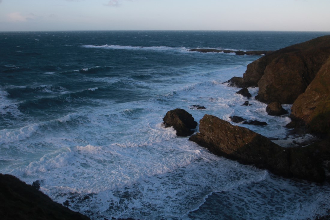
A magnificent walk in the South of the Island on a dry but very windy day when the boats were again cancelled. I decided to make a big day of these hills by starting at Niarbyl, parking in the cafe car park and walking down to the beach where the combination of high tide and a gale was filling the air with foam.
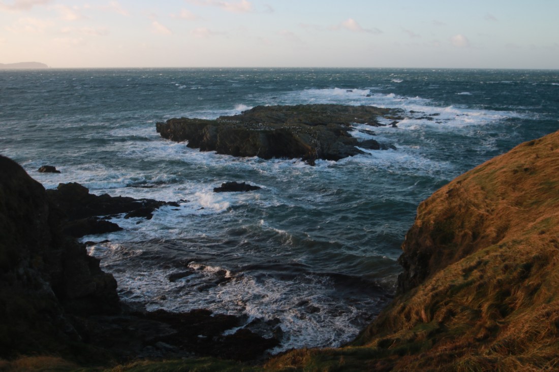
I set off on the coastal path towards White Beach, the wind making going hard but the views of the rough sea were superb.


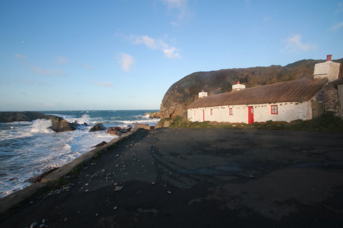
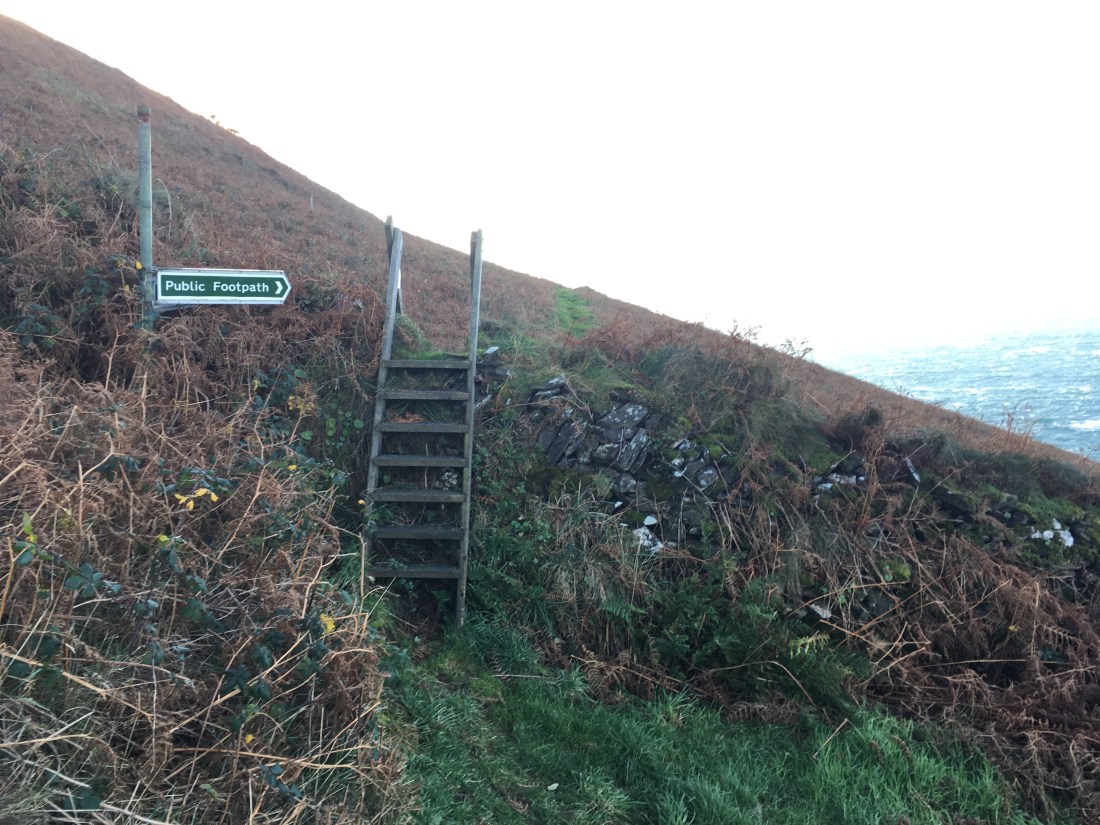
I descended back to sea level at White Beach, the tide was in so there wasn’t much room to cross the stream below the beach waterfall.

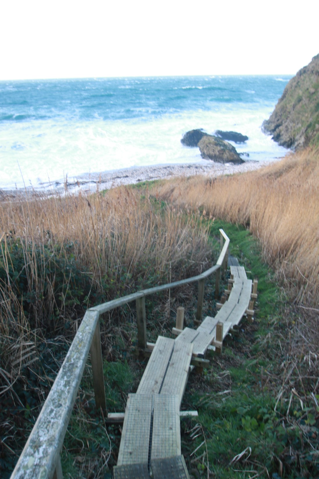


Just past the stream I took the path up behind the beach hut and at the top continued straight on rather than up the main track which is private.


This led onto a superb path which actually lost height as it got nearer to Cronk ny Arrey Laa meaning that my climb was going to be a long one.


After crossing a stream (Glion ny Goayr) the climb started.

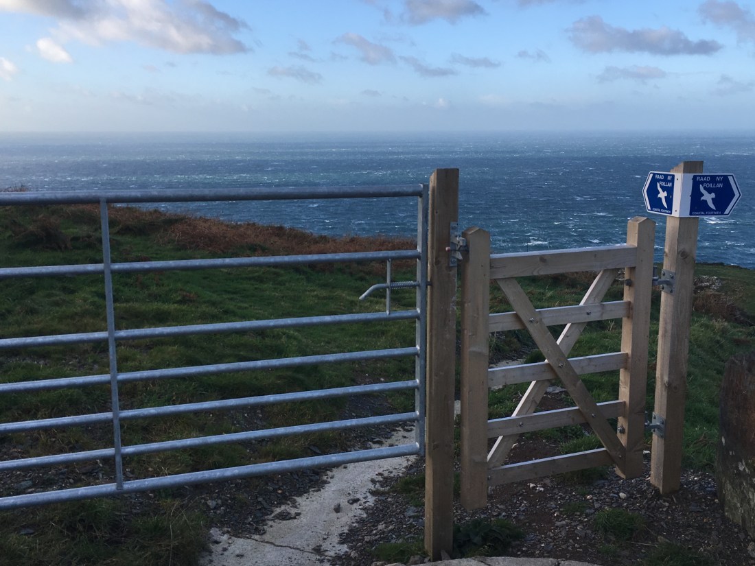
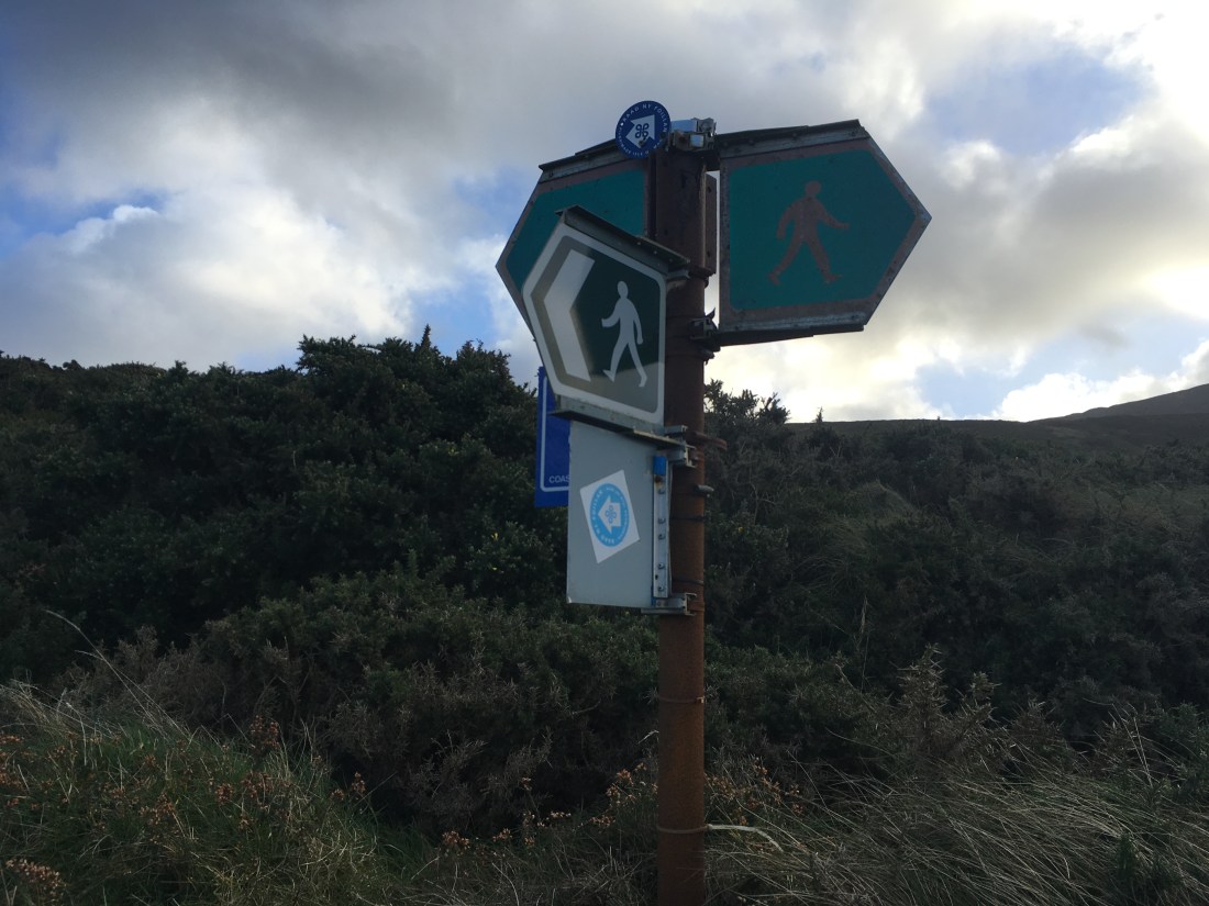
It was steep and relentless climbing up towards Eary Cushlin. Only at the track to the house was there a brief lessening of the gradient before it went up again, still following the Raad ny Foillan signs.

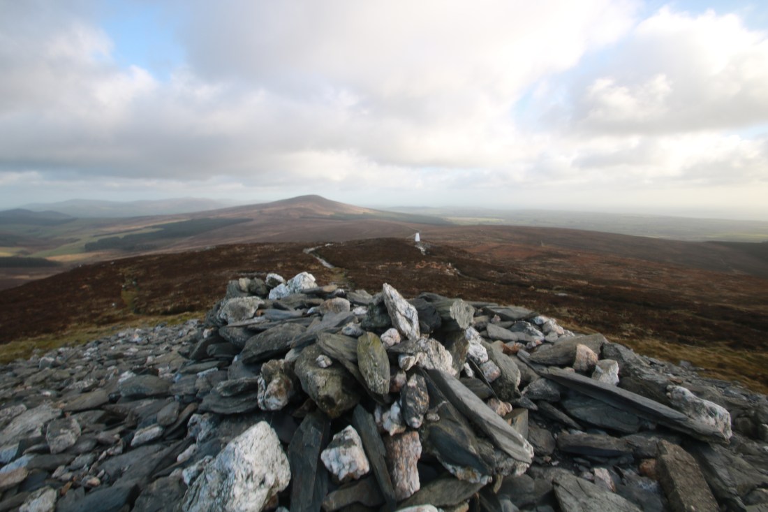
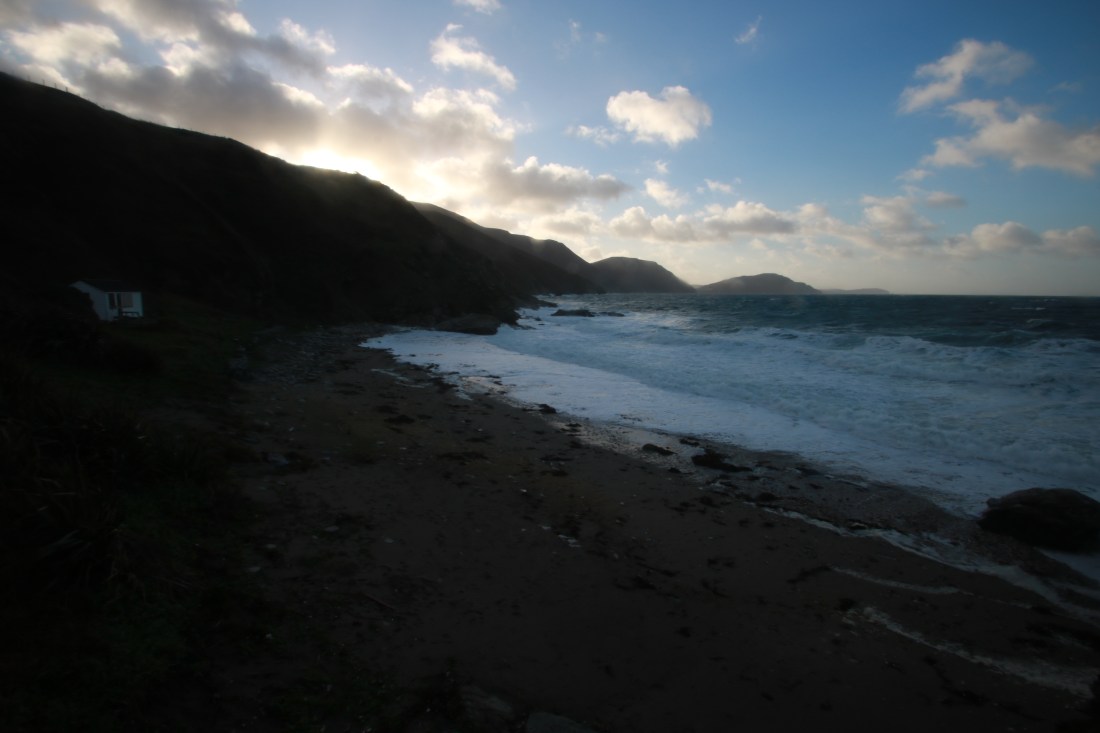
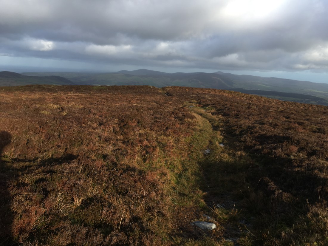
Eventually I emerged at the summit and into the gale. The views were, as always from here, superb in all directions.


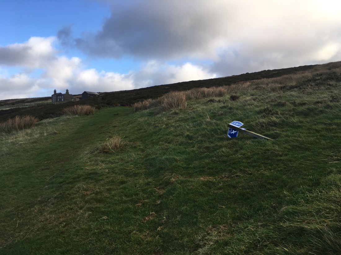
After a short break and refreshment I set off down the main path towards the road. I turned left before the gate to follow the wall along to a smaller gate. On the opposite side of the track is another gate leading onto the moorland named Cronk Fedjag on the map but also known as Lanagour (or something similar). I took the lower path for a change, heading straight across towards Round Table and South Barrule.


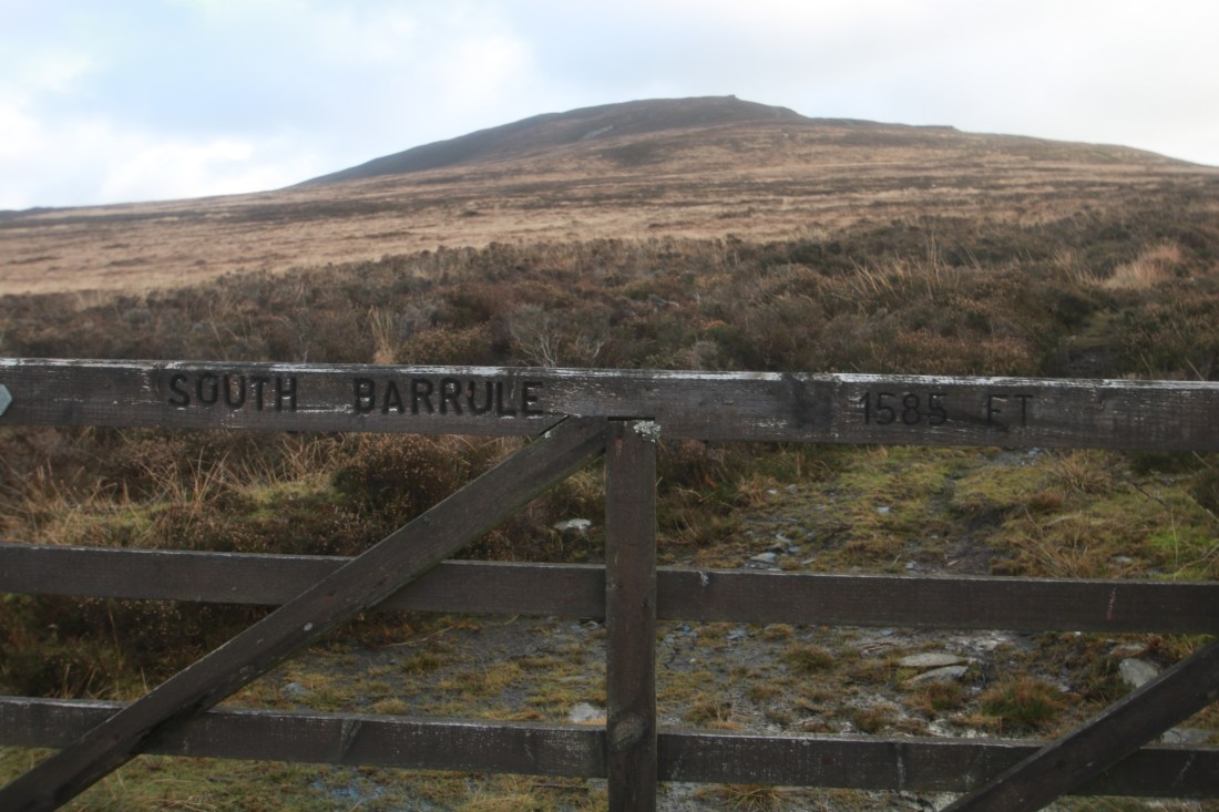
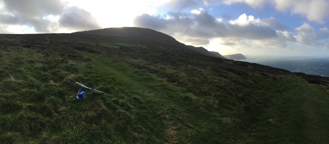
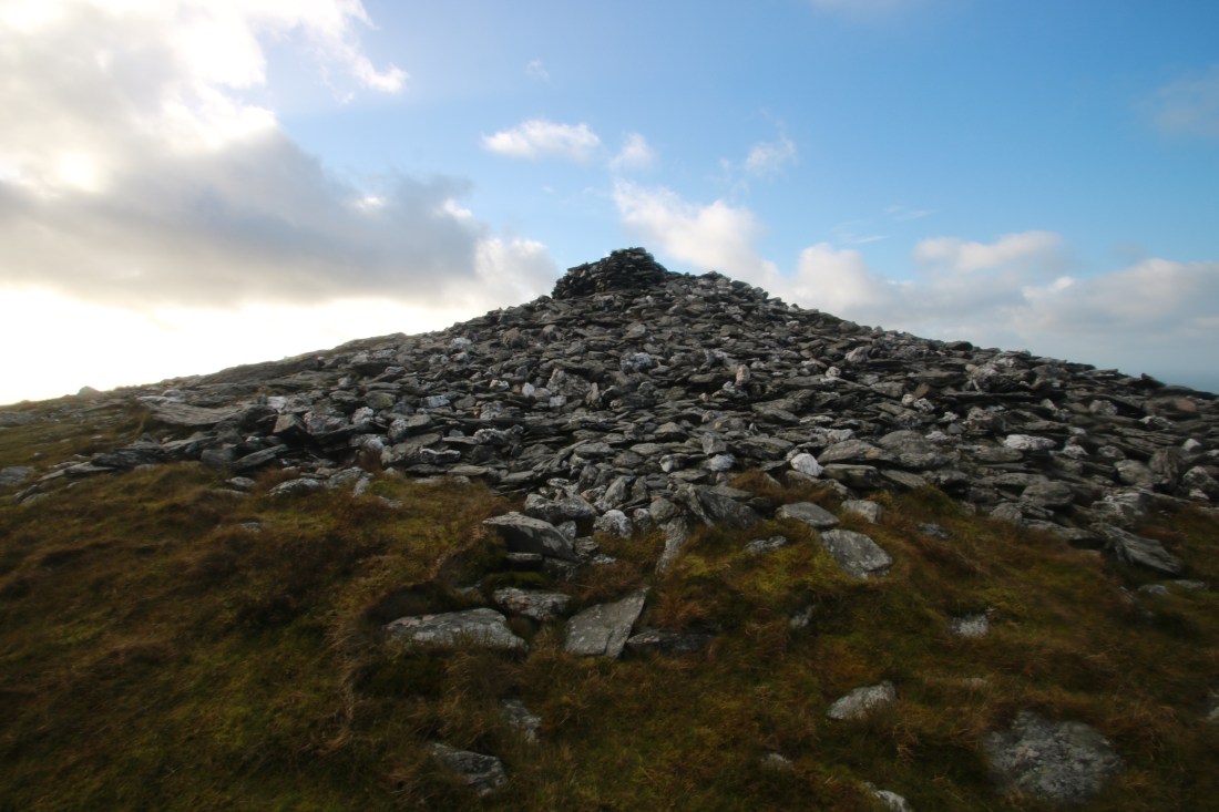
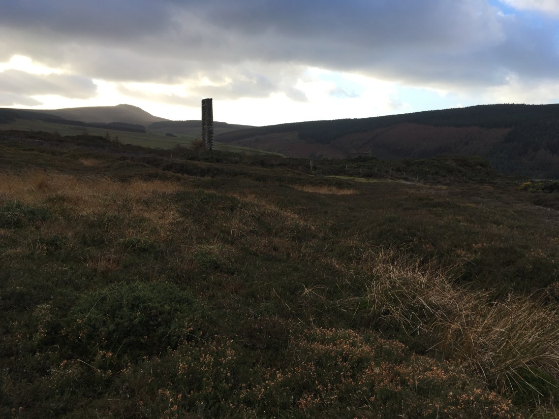
The path from here rises gently across the hill until it reaches the main path from the top of the Whisky Run, It is then a steep climb to the summit, great view all around – back to Cronk ny Arrey Laa, south east to Langness over Cringle reservoir and plantation and north east to Douglas.


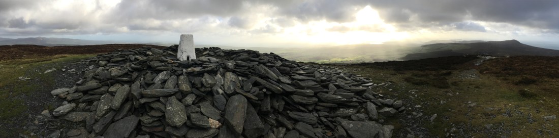
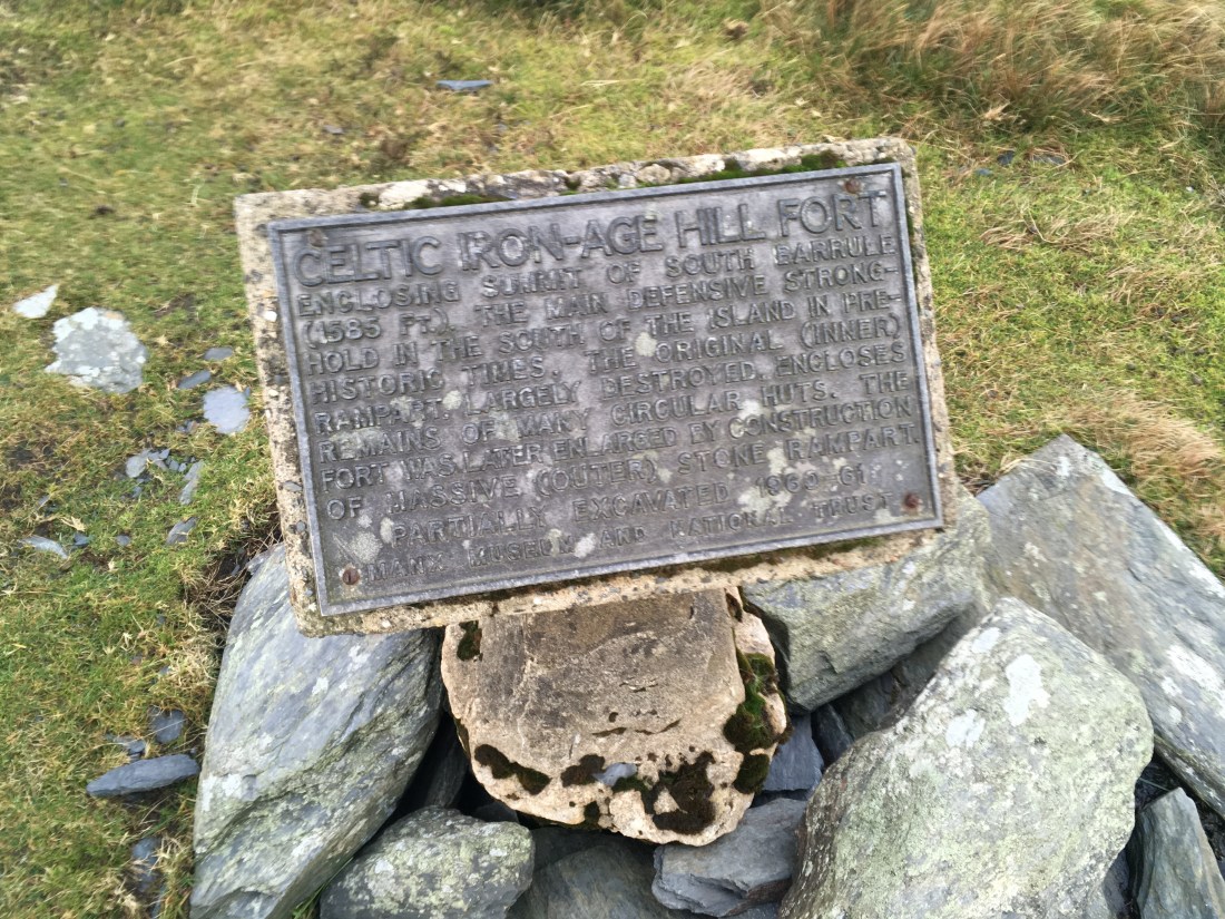
There is a QR code on the trig point, scanning it with my phone provided me with information about the hill fort and even an audio guide if I wanted it.

The out wall is really obvious and in fact I sheltered below it for a quick brew and something to eat.

I followed the path NE from the summit and then headed off across the heather aiming straight for Slieau Whallian. This line intersected with another path which led down to the gate at the road.


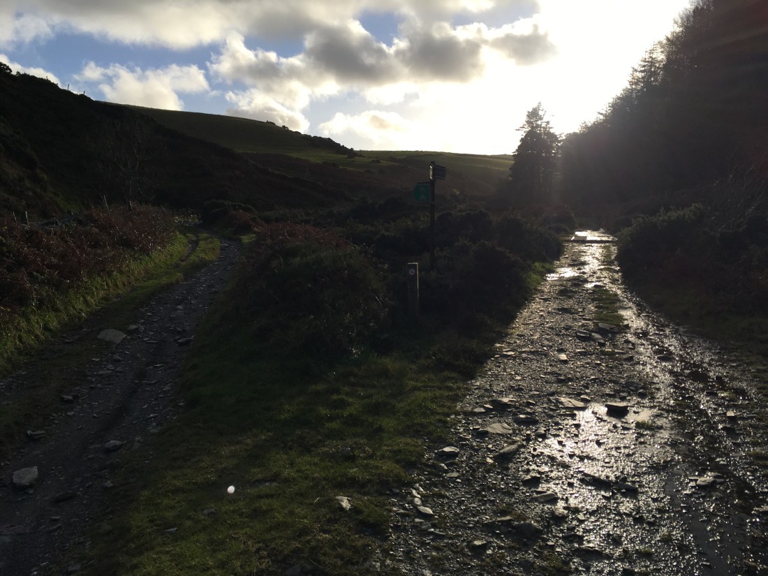
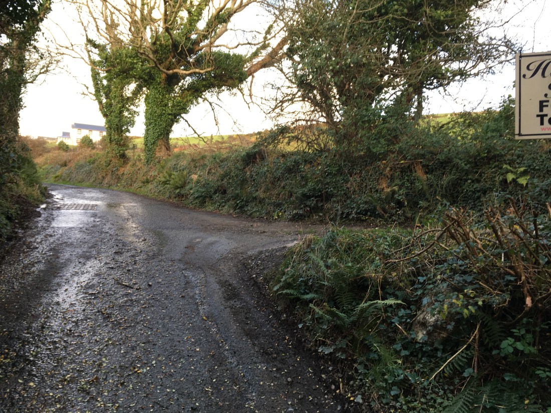
This leads down into Glen Rushen passing what I assume are old miners cottages before reaching the junction where I went left down to the river.


At the top, near the tholtan I should have gone straight on towards the road and then to the Eary Cushlin track but I was tempted along the fire track sharp right at the top of the climb in the thought of going to the top of Dalby Mountain.


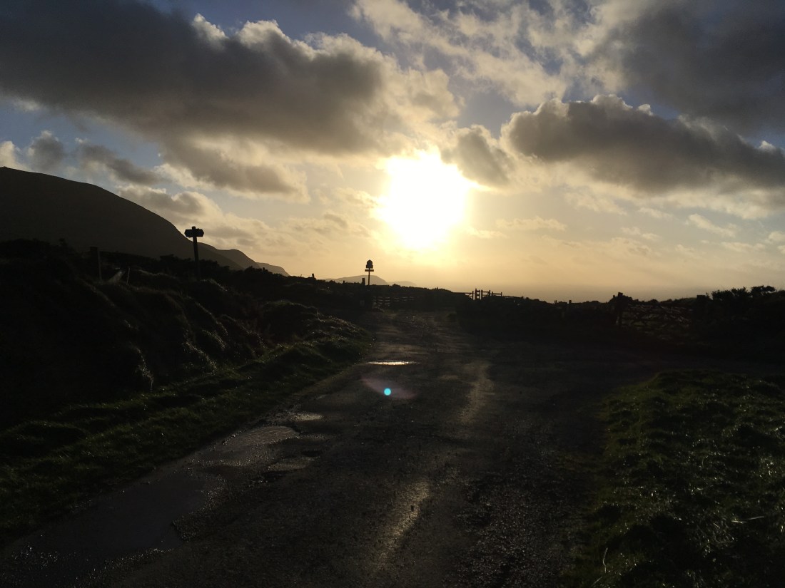


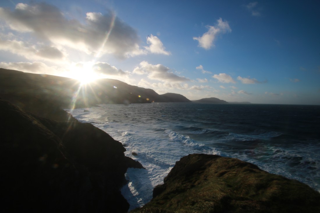
Rather than go back to White Beach I thought I would follow the track and lane to the road. I reached Niabyl as the afternoon light became spectacular so went back to the headland to enjoy the view before heading home.


A long and blustery day but an excellent walk of just over 23km and 1400m ascent in 5 hours 30 minutes. Well recommended!


