South Barrule from Glen Maye

IMG_4264

Unusually for me there was quite a bit of tarmac walking on today’s route but it was a beautiful day and quite nice to have the ease of walking on roads after some of the tracks early in the walk. From Glen Maye it would make more sense to go up Glen Rushen and then the Pipeline track straight to Round Table but I wanted to go up by the Doarlish Cashen (Sound Road) track as I hadn’t been that way for at least ten years. This meets the road near Easy Cushlin and if I had had the time I would have gone from there to the top of Cronk ny Arrey Laa and across Lanagor (sp?) to Round Table. As it was I walked up the road.

Starting outside the sadly abandoned Waterfall Hotel in Glen Maye I headed down the road and took the signposted footpath to the left next to a house. This narrow path led through an unusual ‘garden’ before becoming more obvious. Here I kept to the right to start the climb of the Doarlish Cashen track. In its lower part this is steep, narrow, wet (there had been very heavy rain the day before) and in places more like a rock climb up slippery slabs.

Nearer the top the track widens as it passes through fields but it doesn’t get any drier.

After a few gates there is a junction – the right of way goes to the right and is a first very wet, rutted and muddy. Eventually I reached the Manx Wildlife Trust ground where the track has been fenced in to stop motorbikes straying to either side. Unfortunately it was impossible to walk within the fenced area as it was so wet.

Once on the road South Barrule came into view and I plodded for 2km up to Round Table where I crossed the road, went through the gate and headed across the hillside to join the main path.

It was a fantastically clear day, perfect for this lovely hill. Chilly at the summit and even close to midday there were a few icy puddles in the shade.

IMG_2615

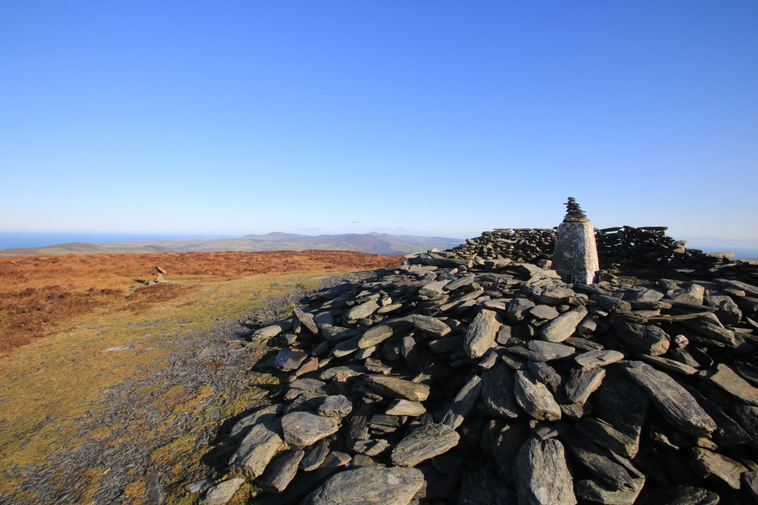
After my brief lunch I headed north, crossing the Iron Age fort wall and following the faint and wet track that at first heads towards Barrule Beg and then turns down aiming for the Cross Vein Mine on the other side of the main road.

After crossing the main road I followed the minor road past Cross Vein and then headed down Glen Rushen road.

Before heading down into Glen Rushen I took a walk around Beckwith’s Mine (Snuff the Wind). A fascinating place. As I have said before more needs to be done to preserve and cherish these reminders of the Island’s industrial past.

I then followed the rough road down through Glen Rushen, past the housing for the miners and all the way to where a footpath leads off to the left, down to a bridge.

This led back through the adopted garden and to the road and finally the car park.

Another lovely walk, challenging tracks, distant views from the hill and speedy walking on tarmac. 14km and 490m of ascent in 3hrs 30 min.


Leave a Reply

Fill in your details below or click an icon to log in:

WordPress.com Logo

You are commenting using your WordPress.com account. Log Out /  Change )

Facebook photo

You are commenting using your Facebook account. Log Out /  Change )

Connecting to %s