Mount Karrin

From the northern end of Sulby Glen Mount Karrin stands impressively on the western side, marred only by the unsightly vehicle track ascending it’s steep slopes (know as the ‘snakebite’ among mountain bikers). I did consider not putting this hill in the blog as it’s summit is on private land so I suppose I should say permission should be sought from the landowner to access the summit (though how someone can own a Manx hill, never mind somehow get planning permission for the aforementioned track and the disgraceful quarry at it’s head, I don’t understand). The route, however, is an excellent short loop even if the summit is not climbed so here it is.

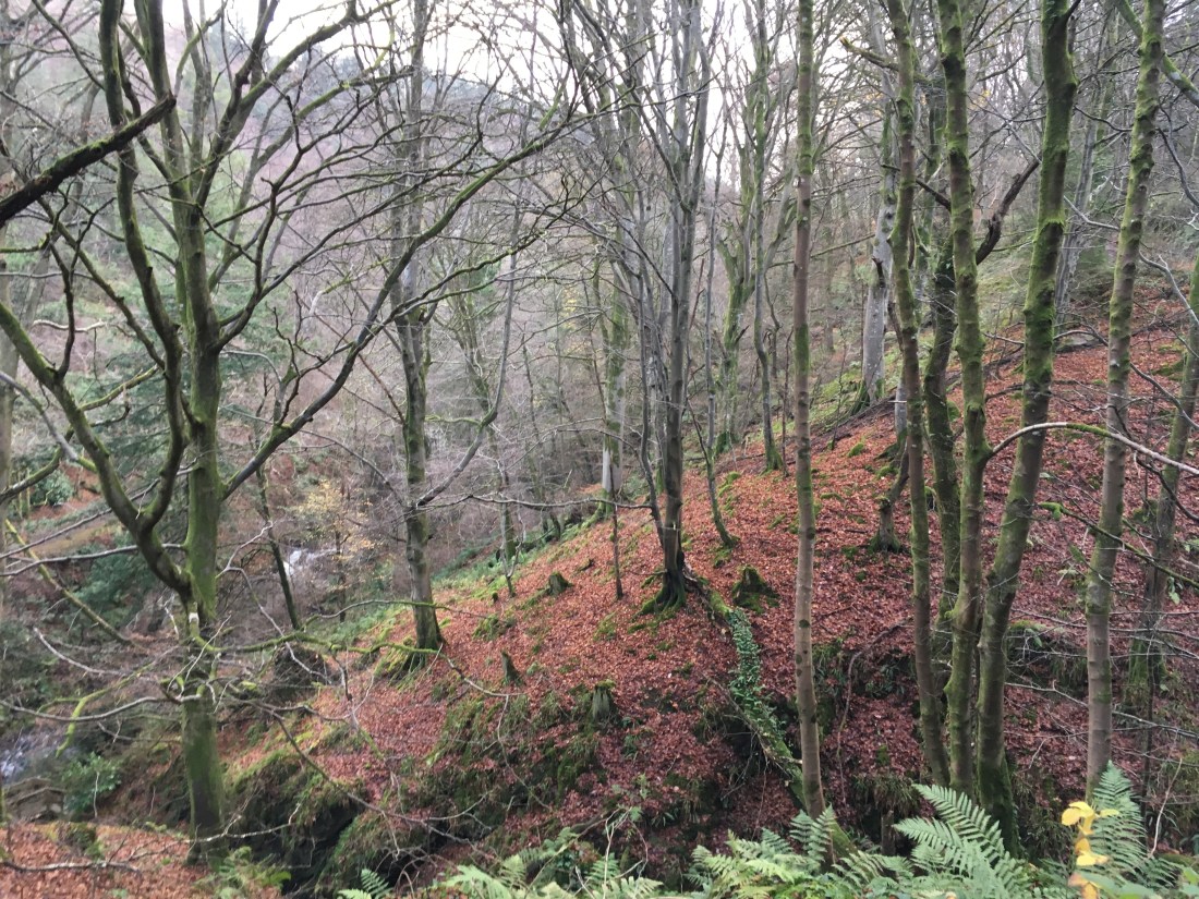
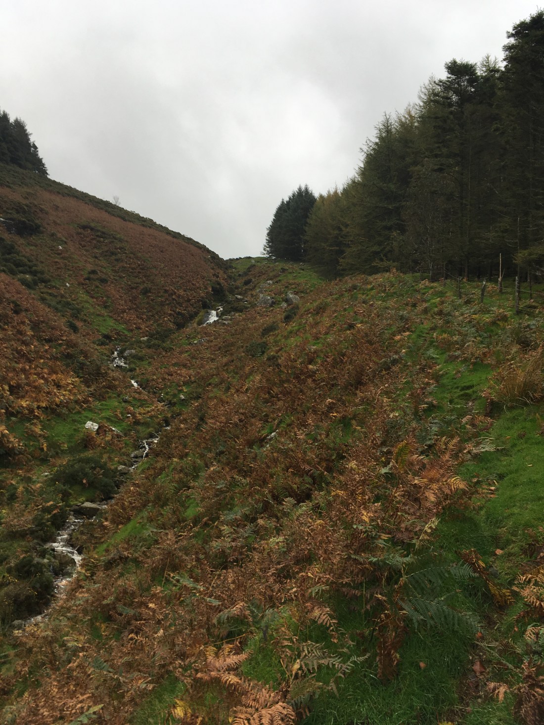
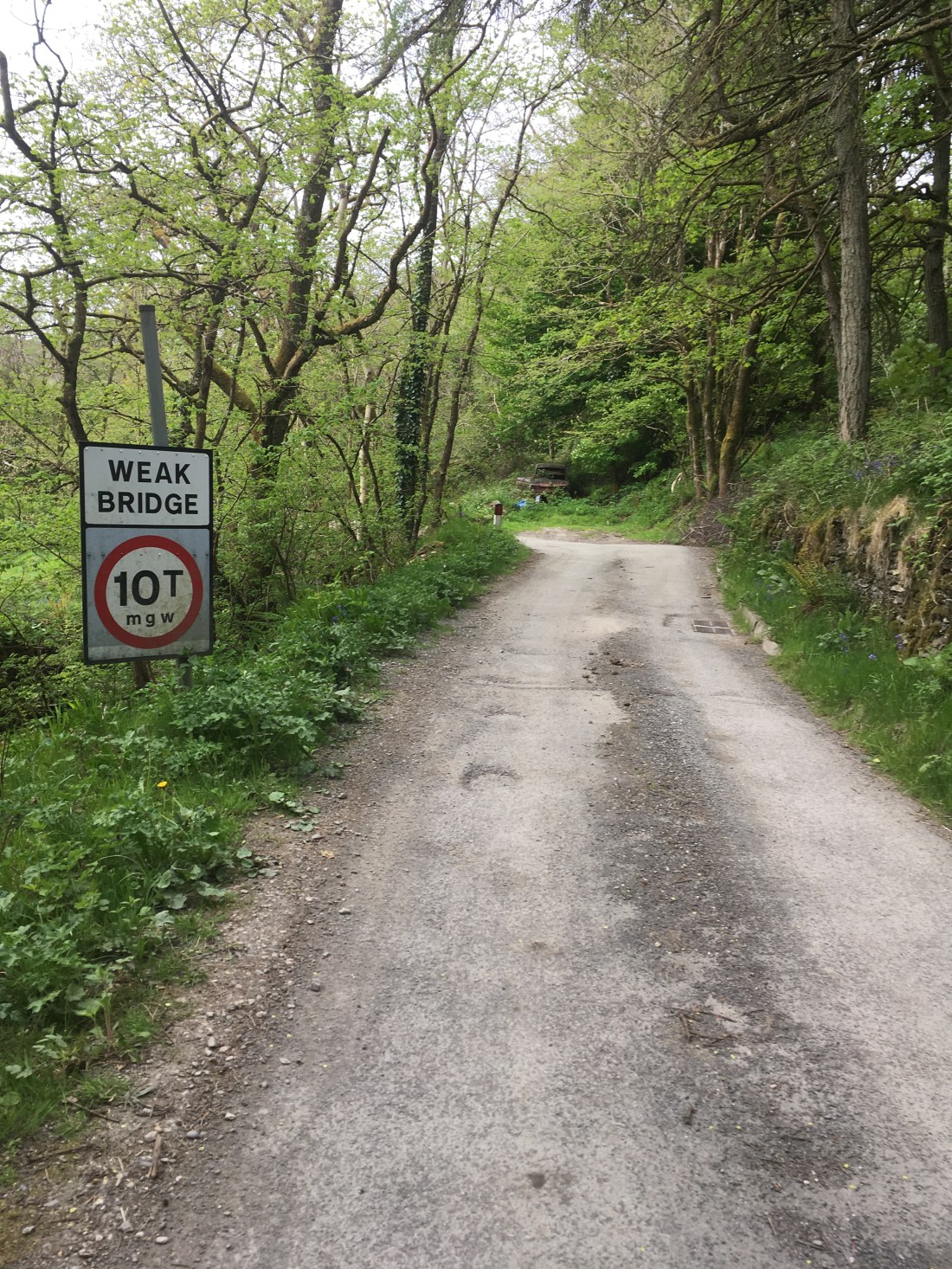
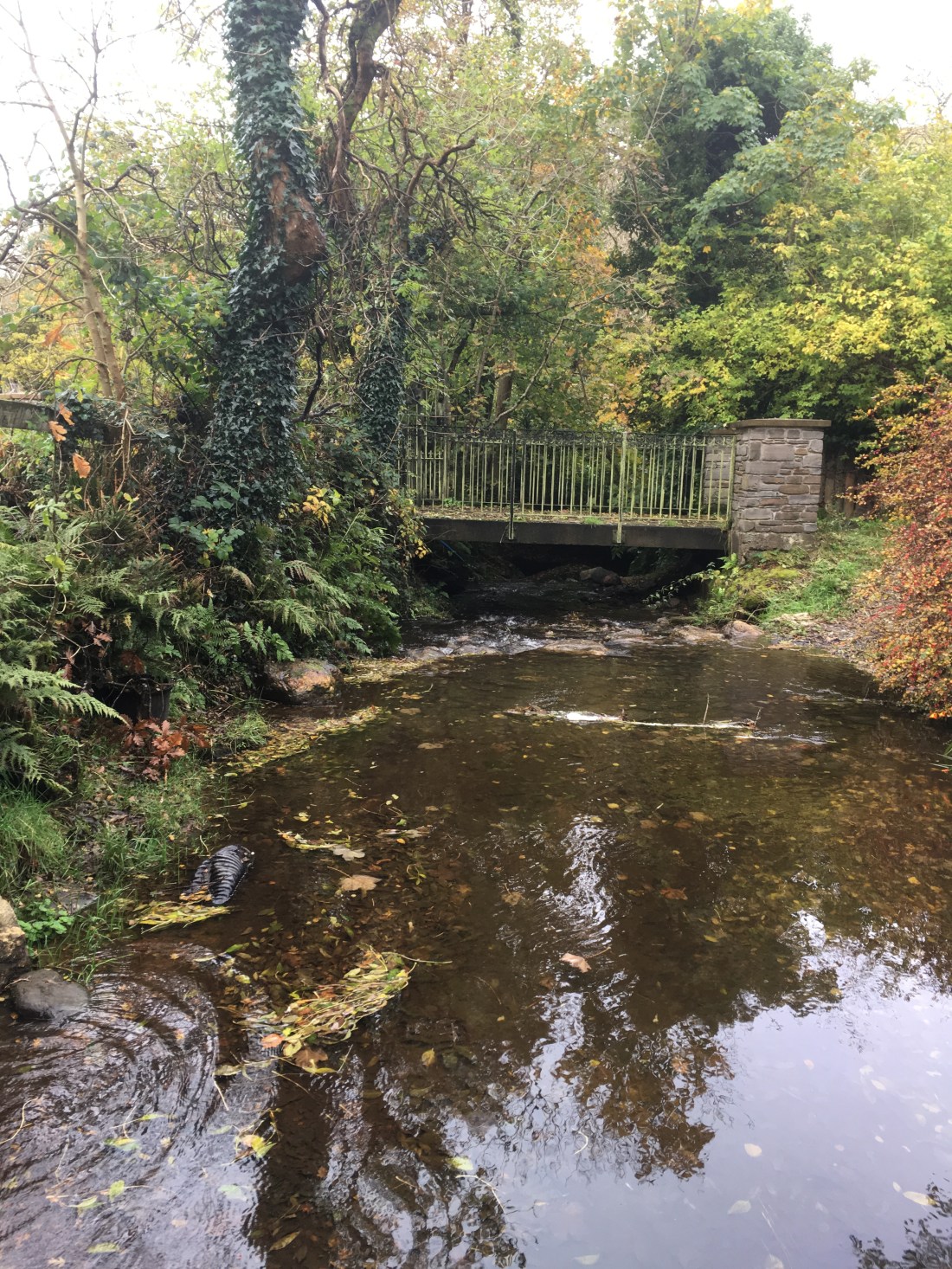
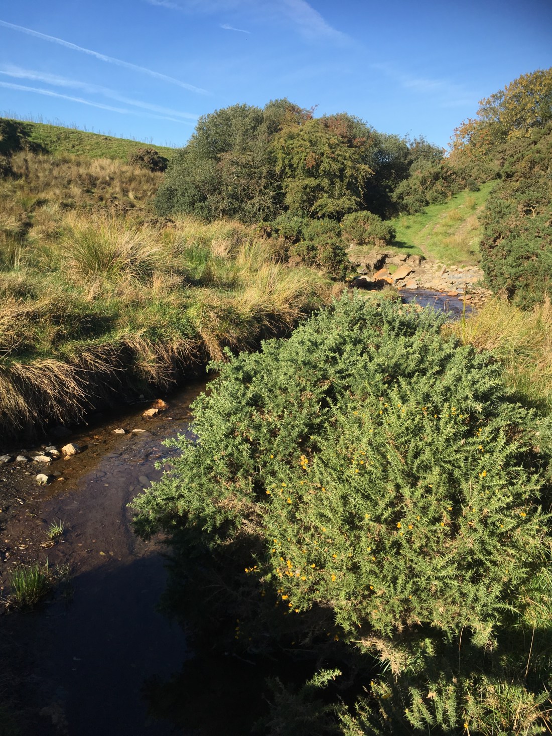
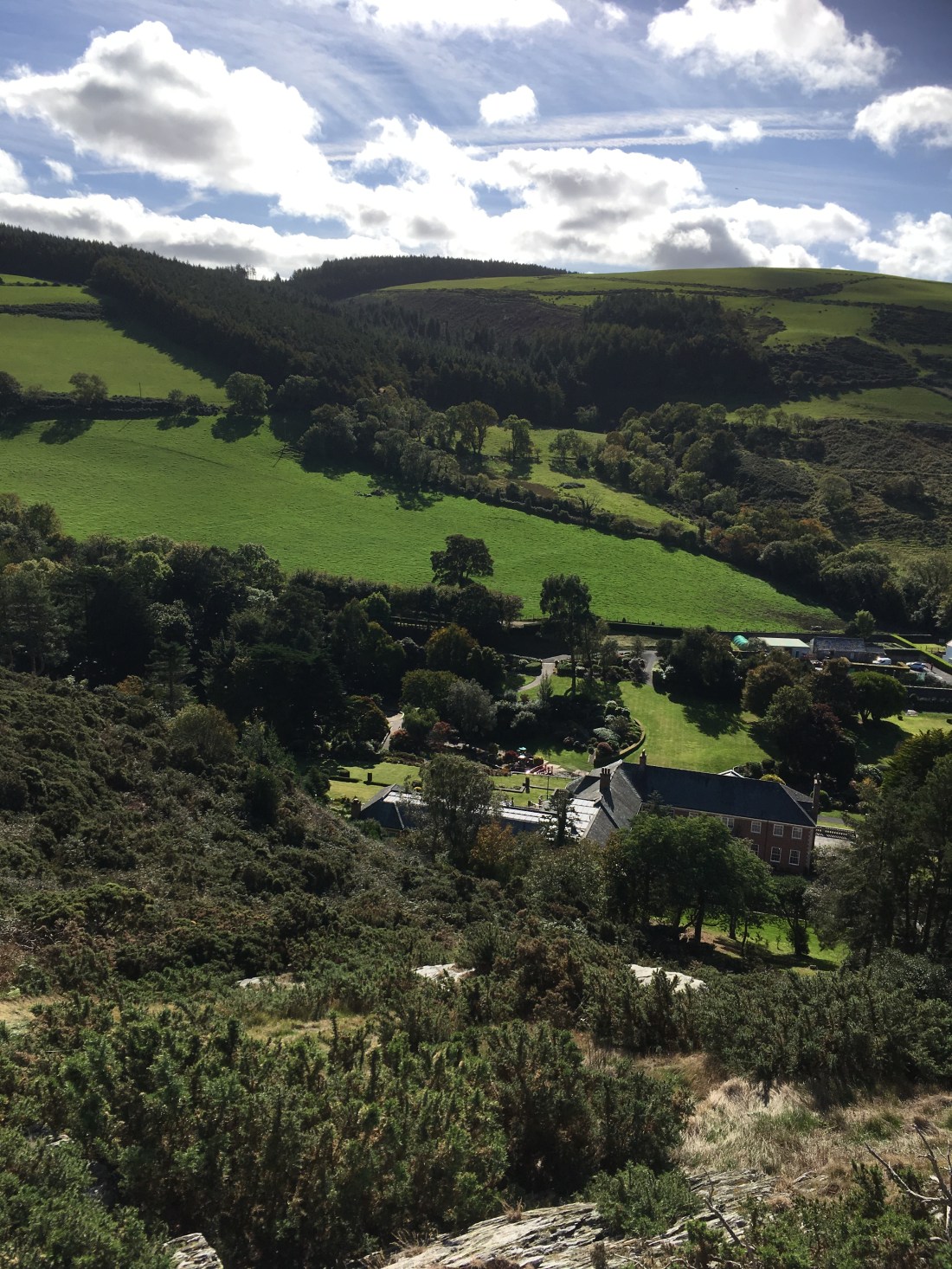
Parking in Sulby Glen near the track into Ballacuberagh Plantation I walked up the road in the glen for about 2km. Road walking is never the best but despite the late November afternoon being dark and gloomy, Sulby Glen was very beautiful and full of interesting waterfalls and rapids on the river after heavy rain earlier in the day, carved statues and a stone circle.

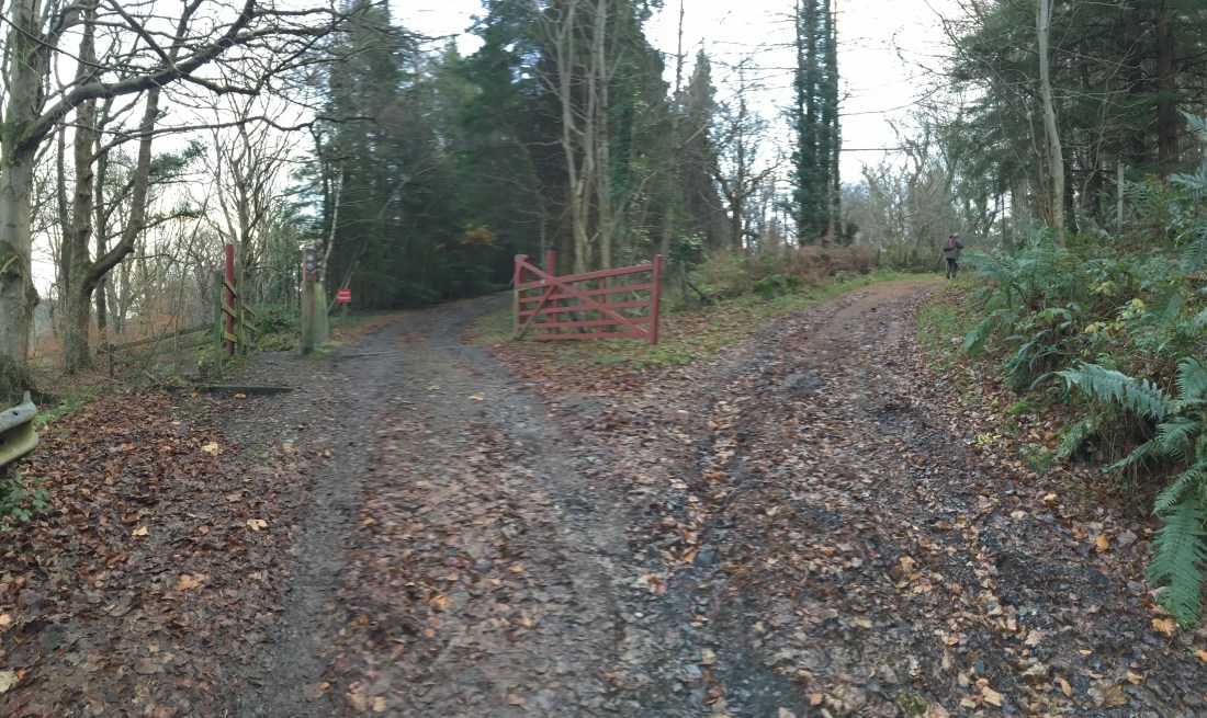
Just after the circle field I crossed the cattle grid and left the road to the right immediately before the cottage, through the gate and climbed the steep slopes on the lovely zig zag path up through Manx National Heritage land.

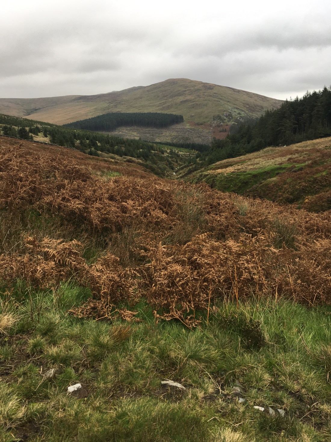
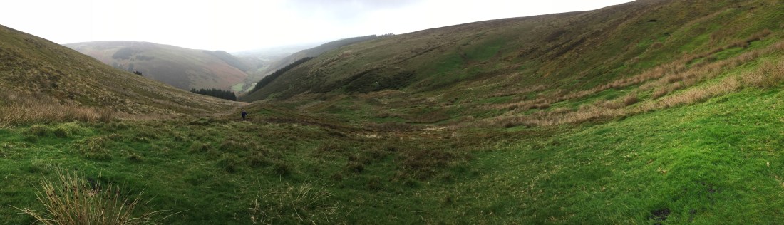
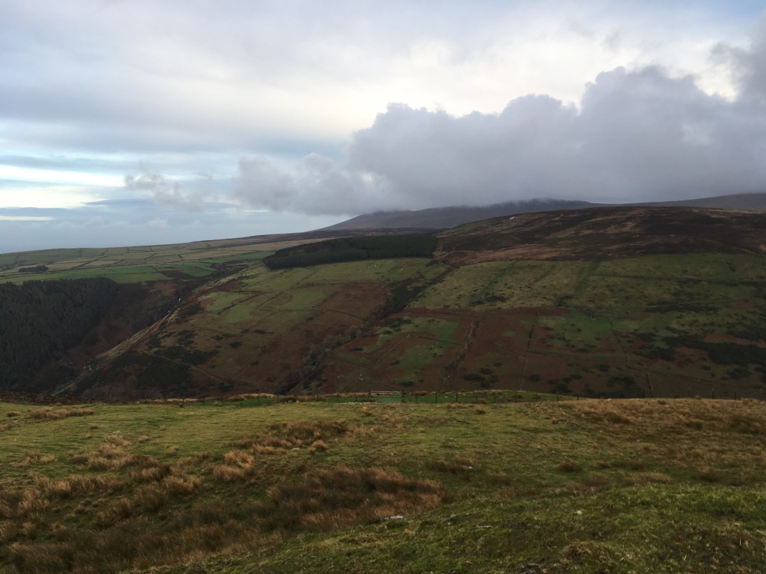
Superb views were had back down the glen.

img_1041

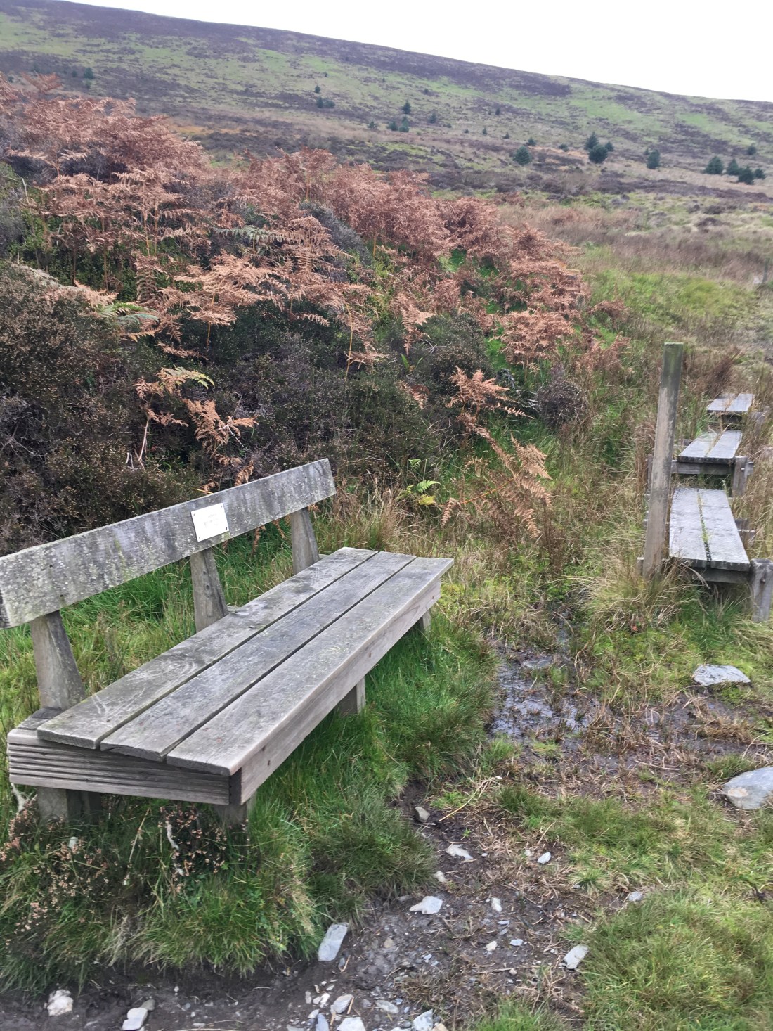
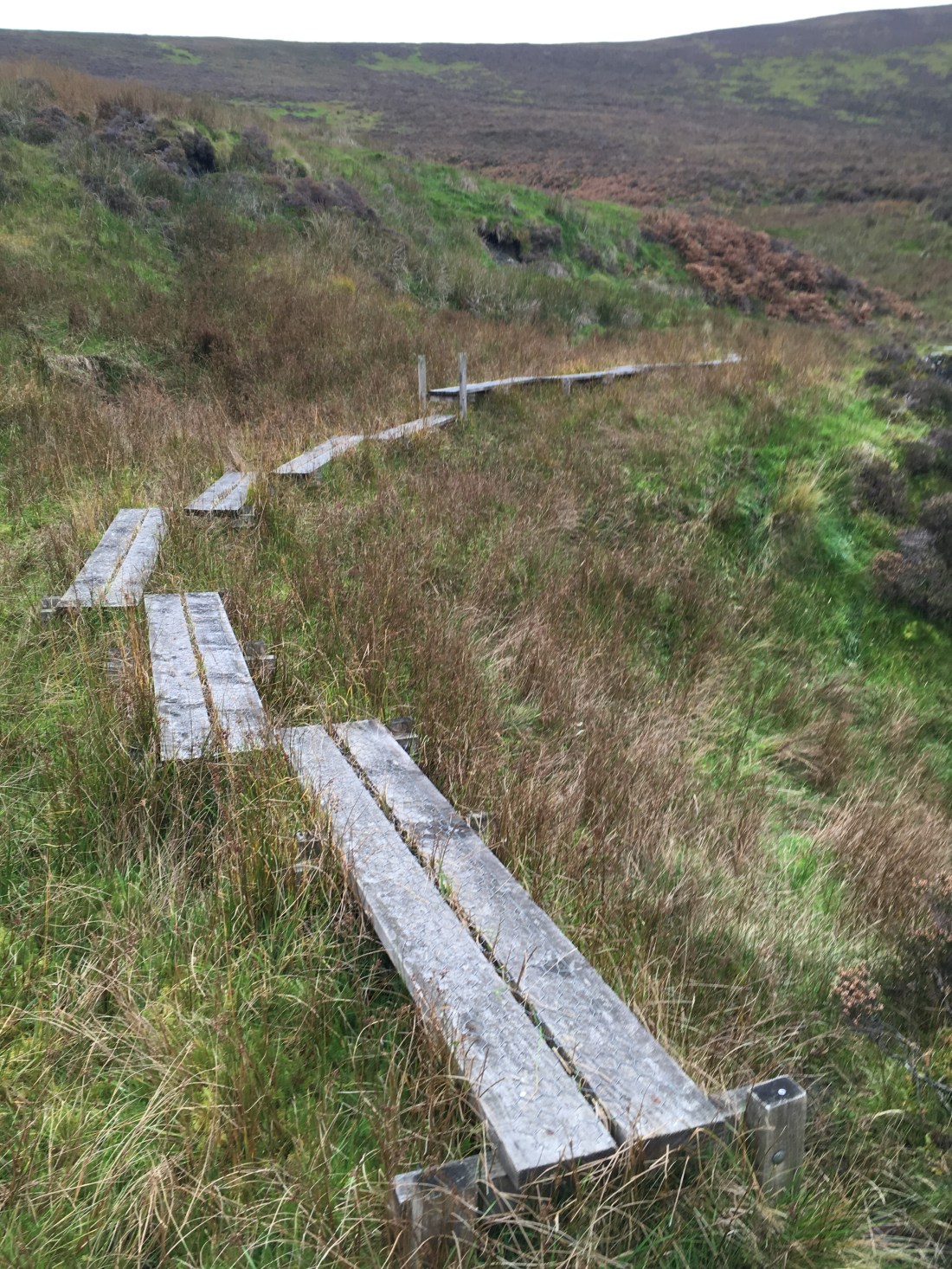
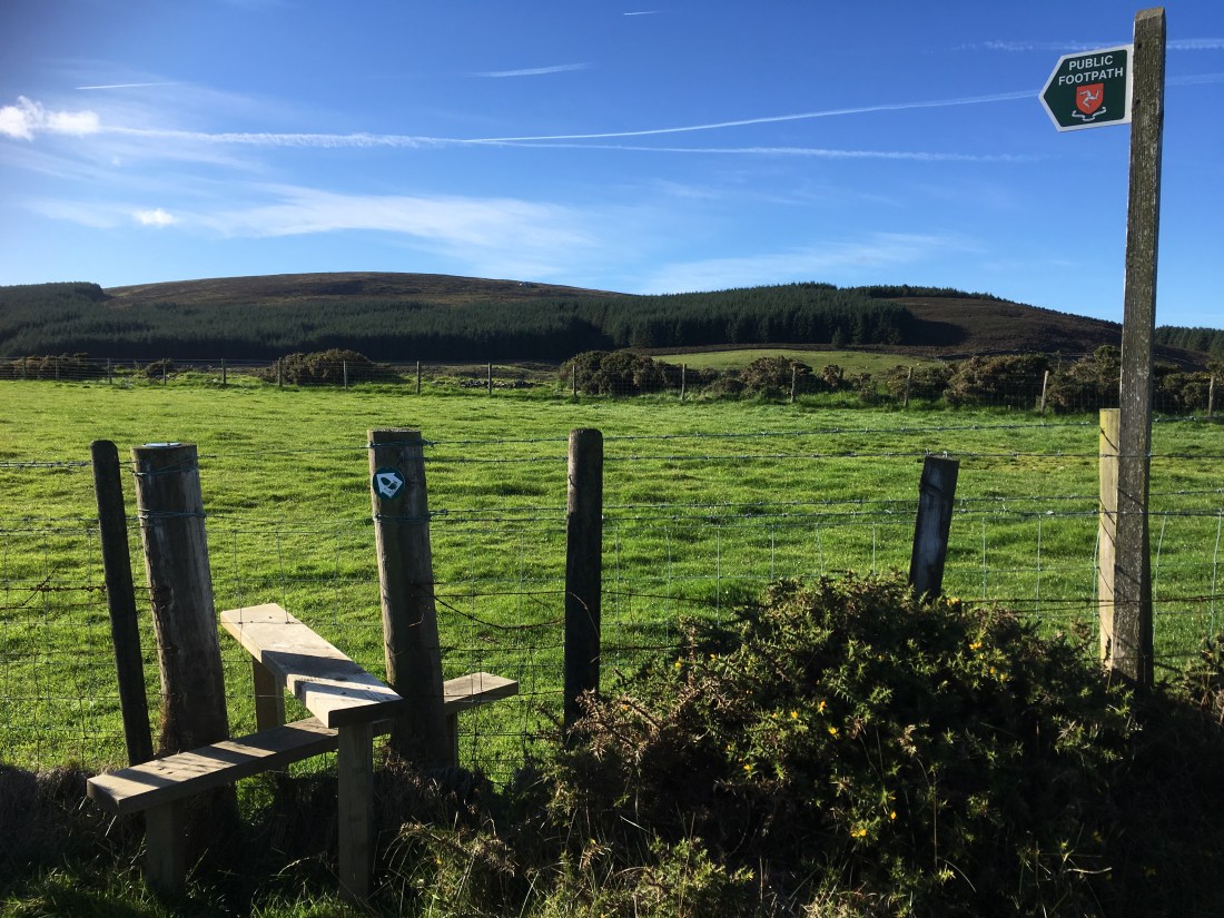
A stile crossed the fence into grassy terrain.

img_1042

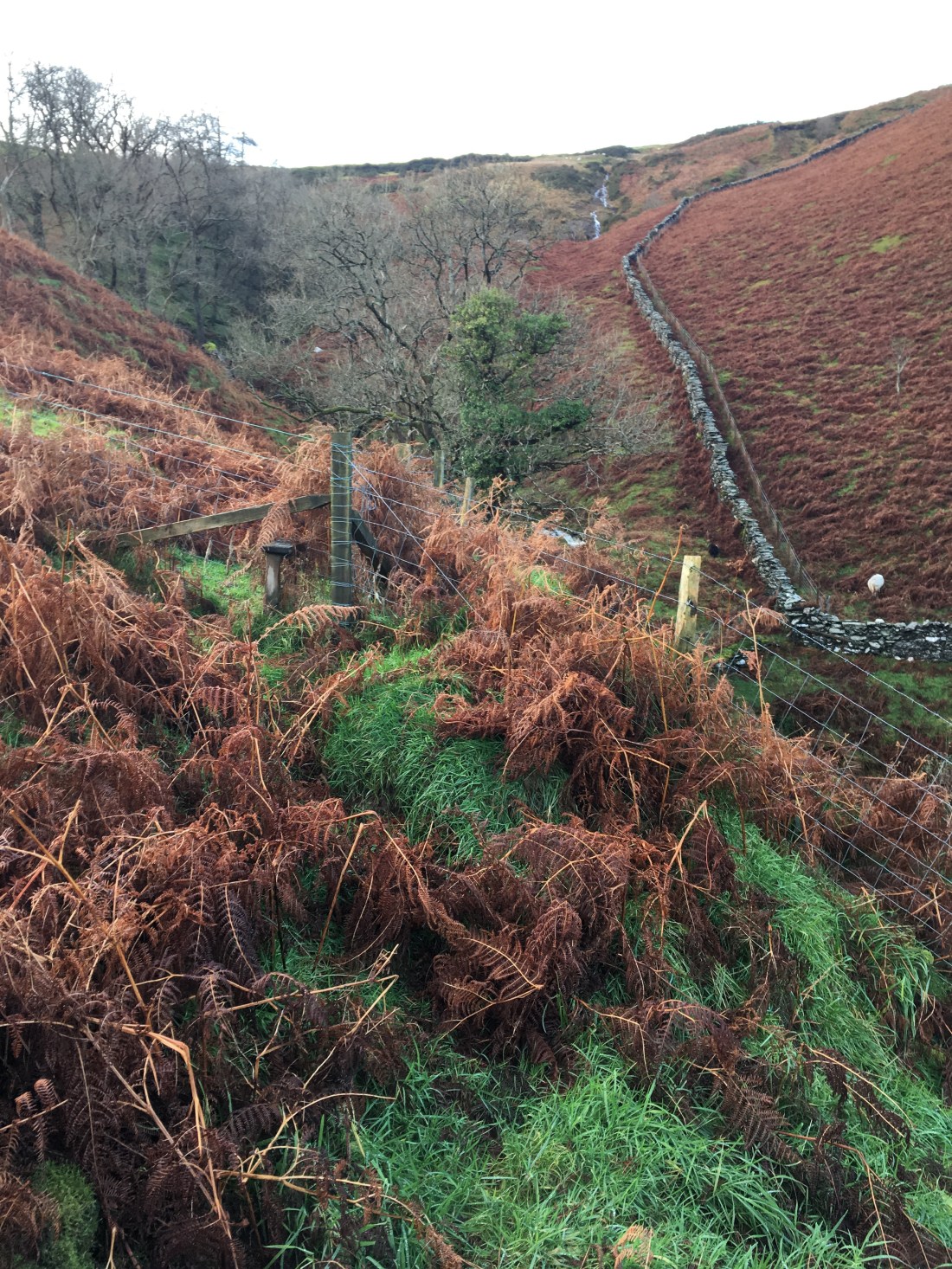
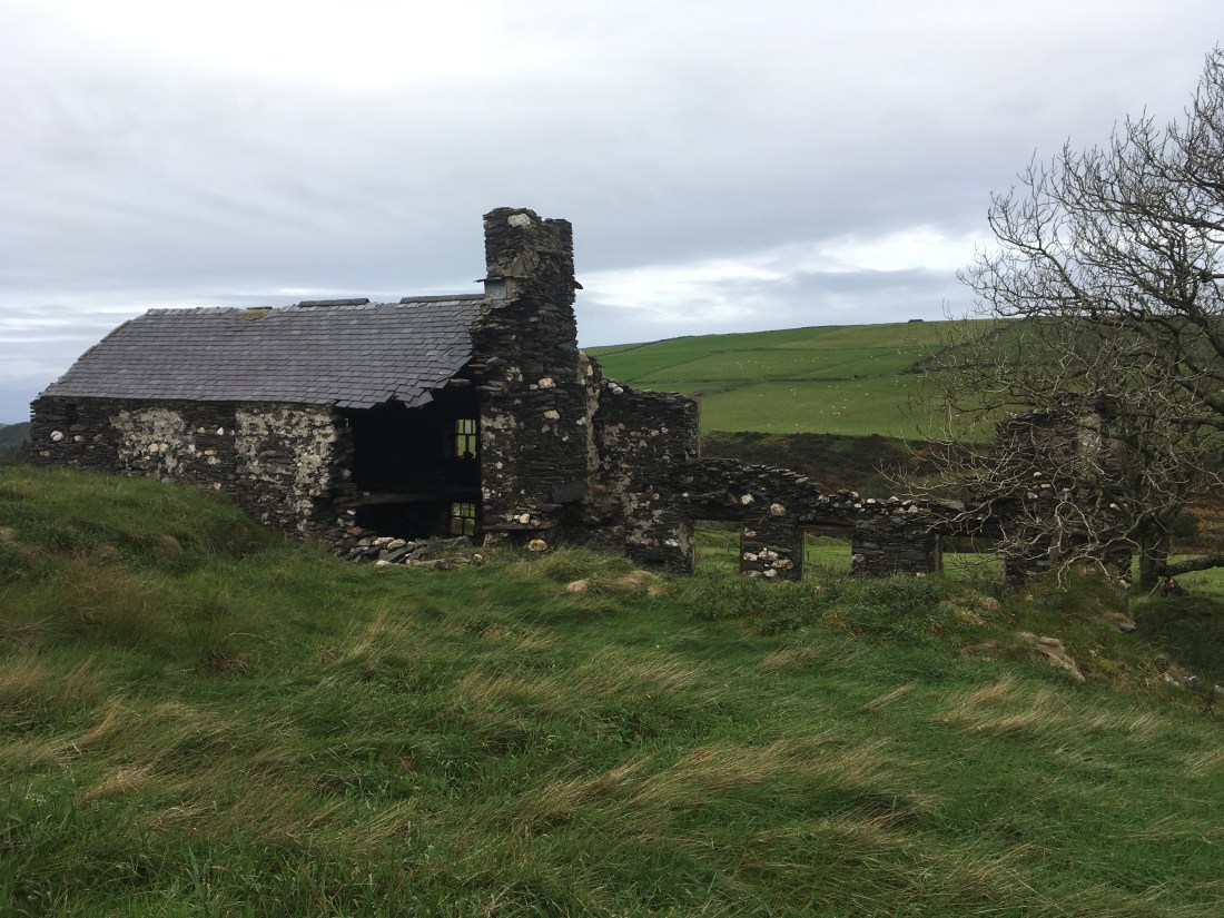
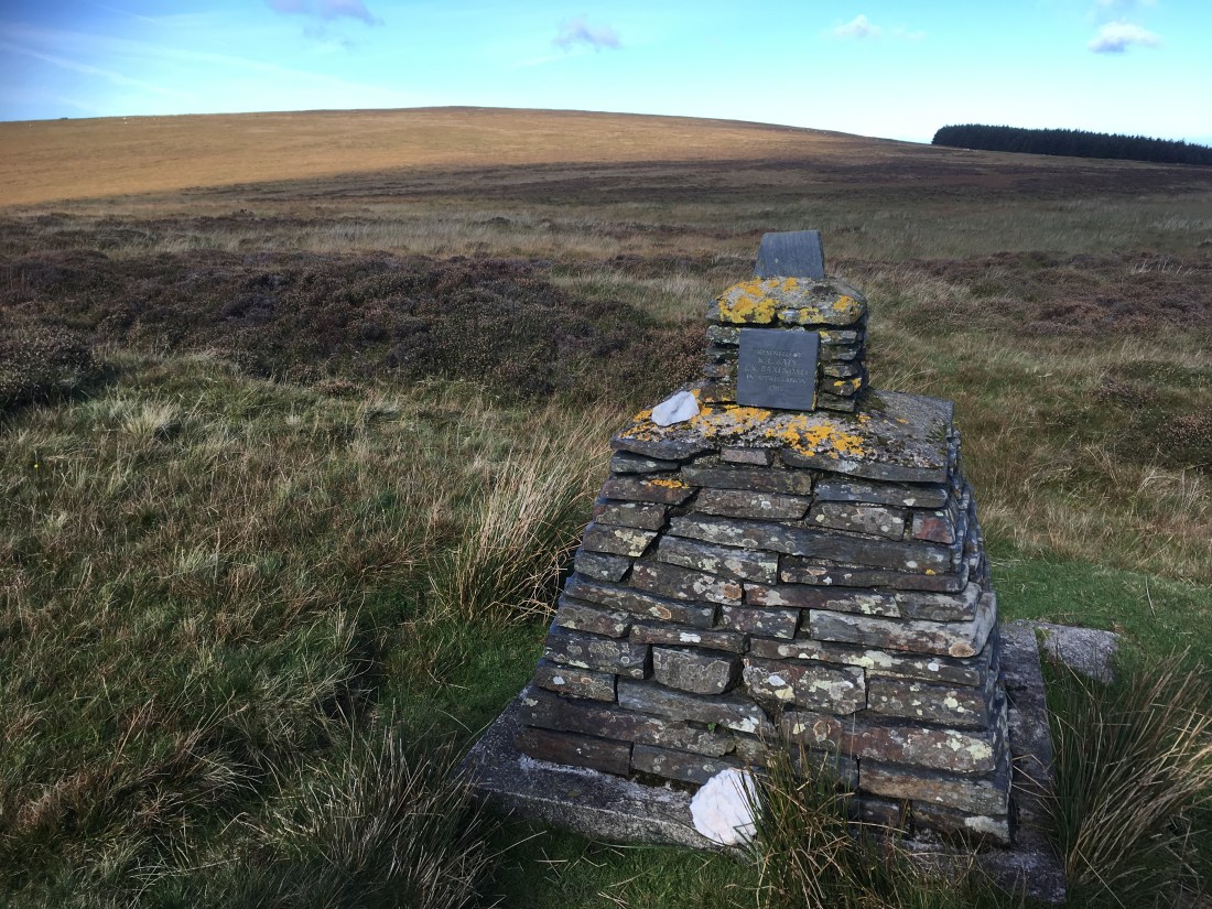
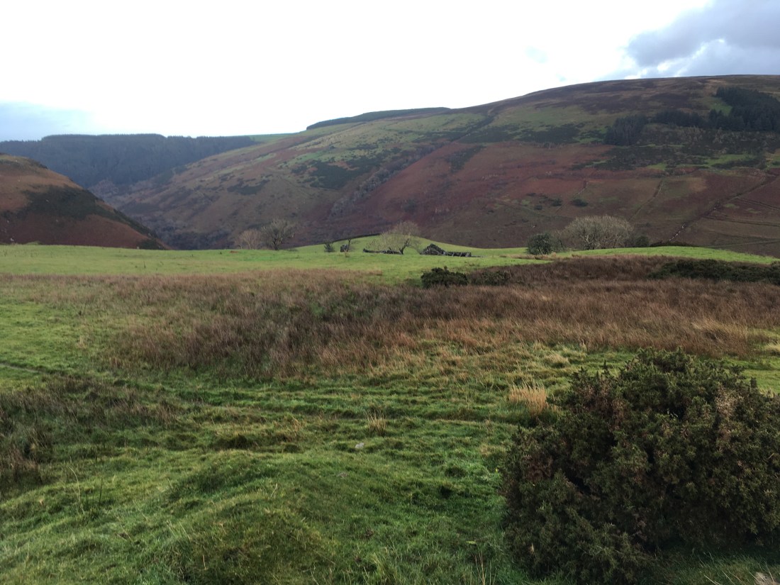
I crossed the pathless grass fields and reached the interesting tholtan of Killabrega.

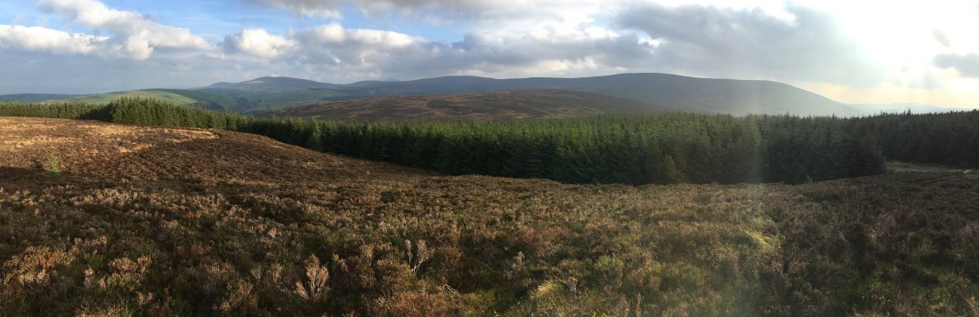
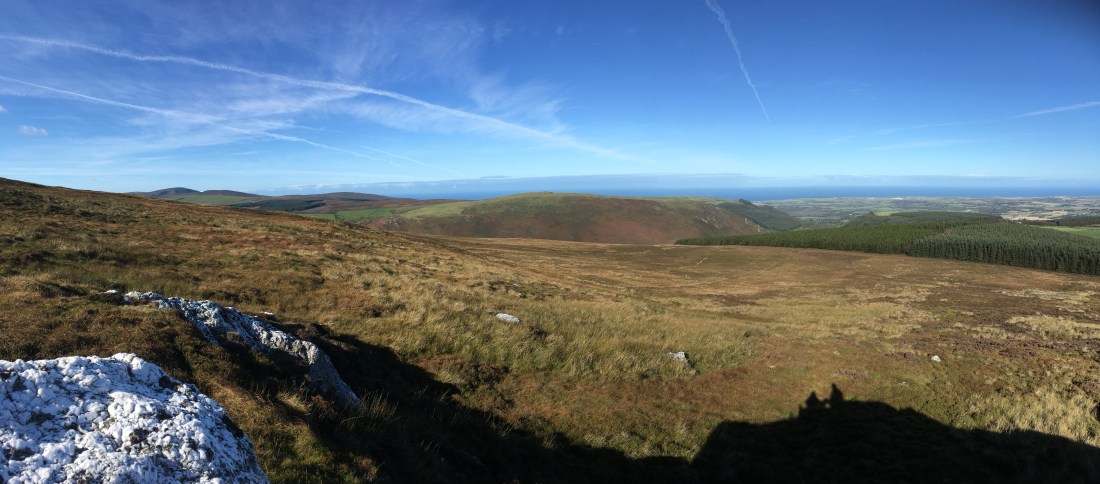
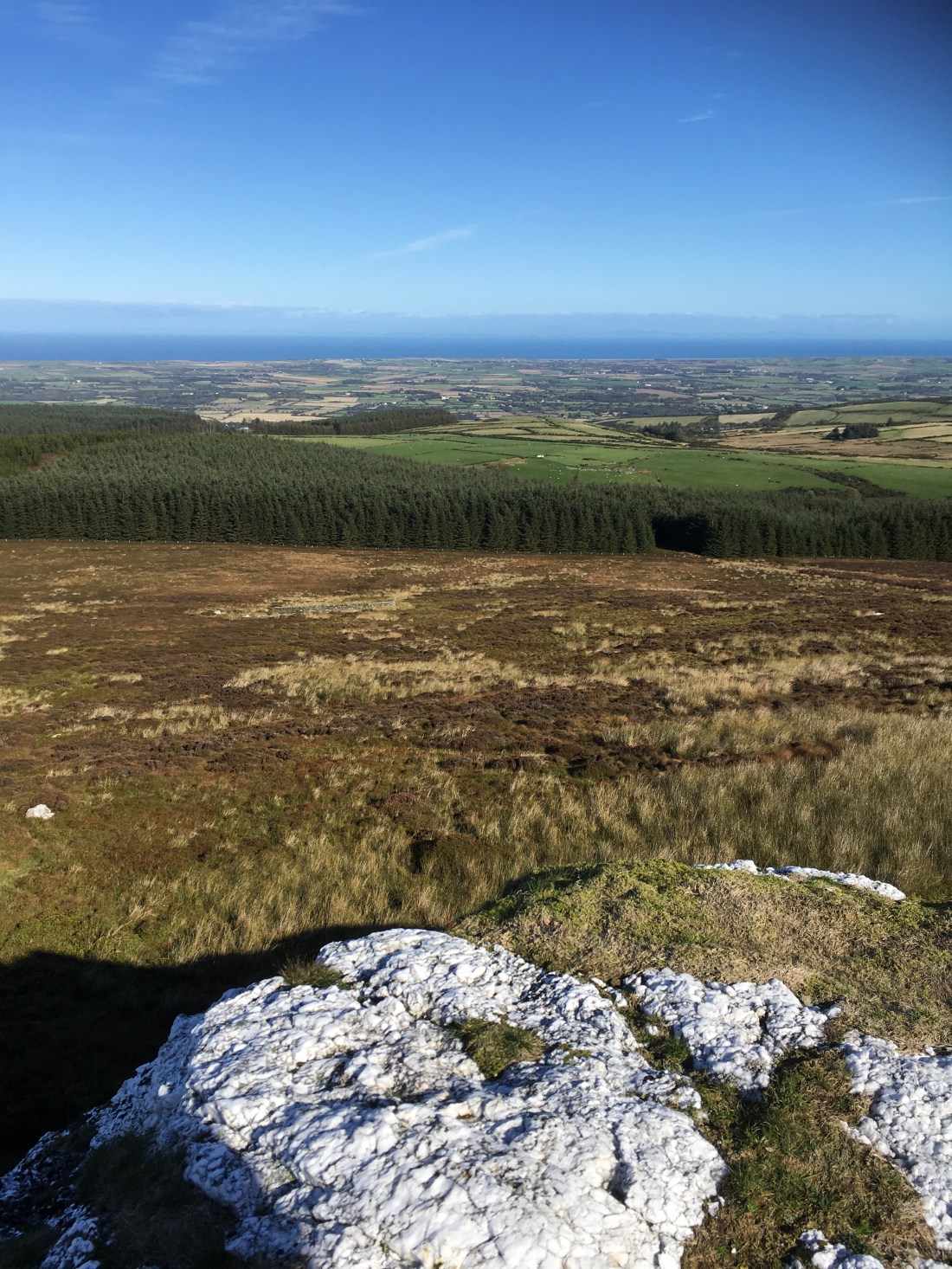
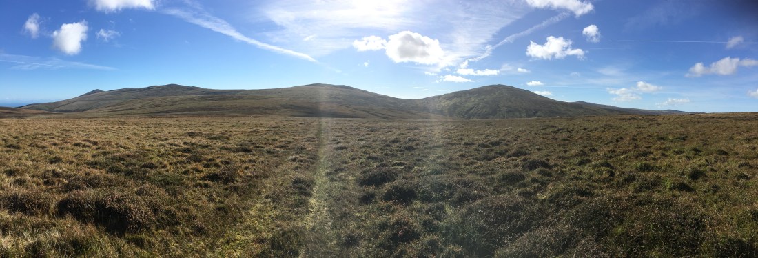
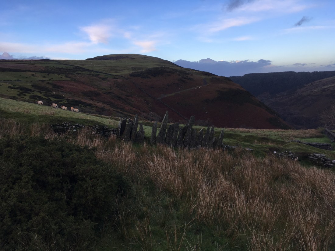
The views were now opening up all around, south to Tholt-e-Will Plantation, SE to Snaefell, west to Slieau Managh and north to Mount Karrin itself.

img_1061

img_1062img_1064

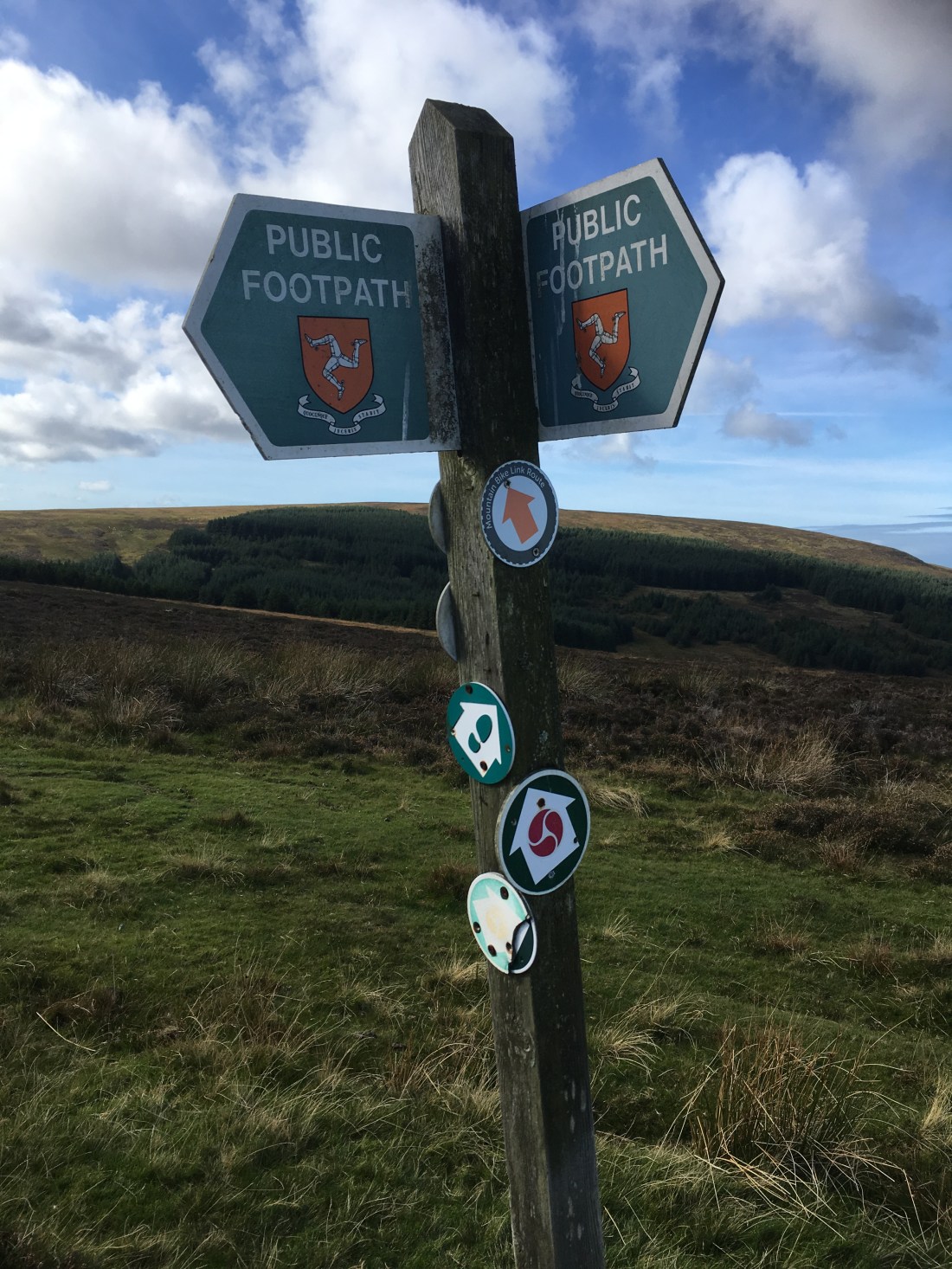
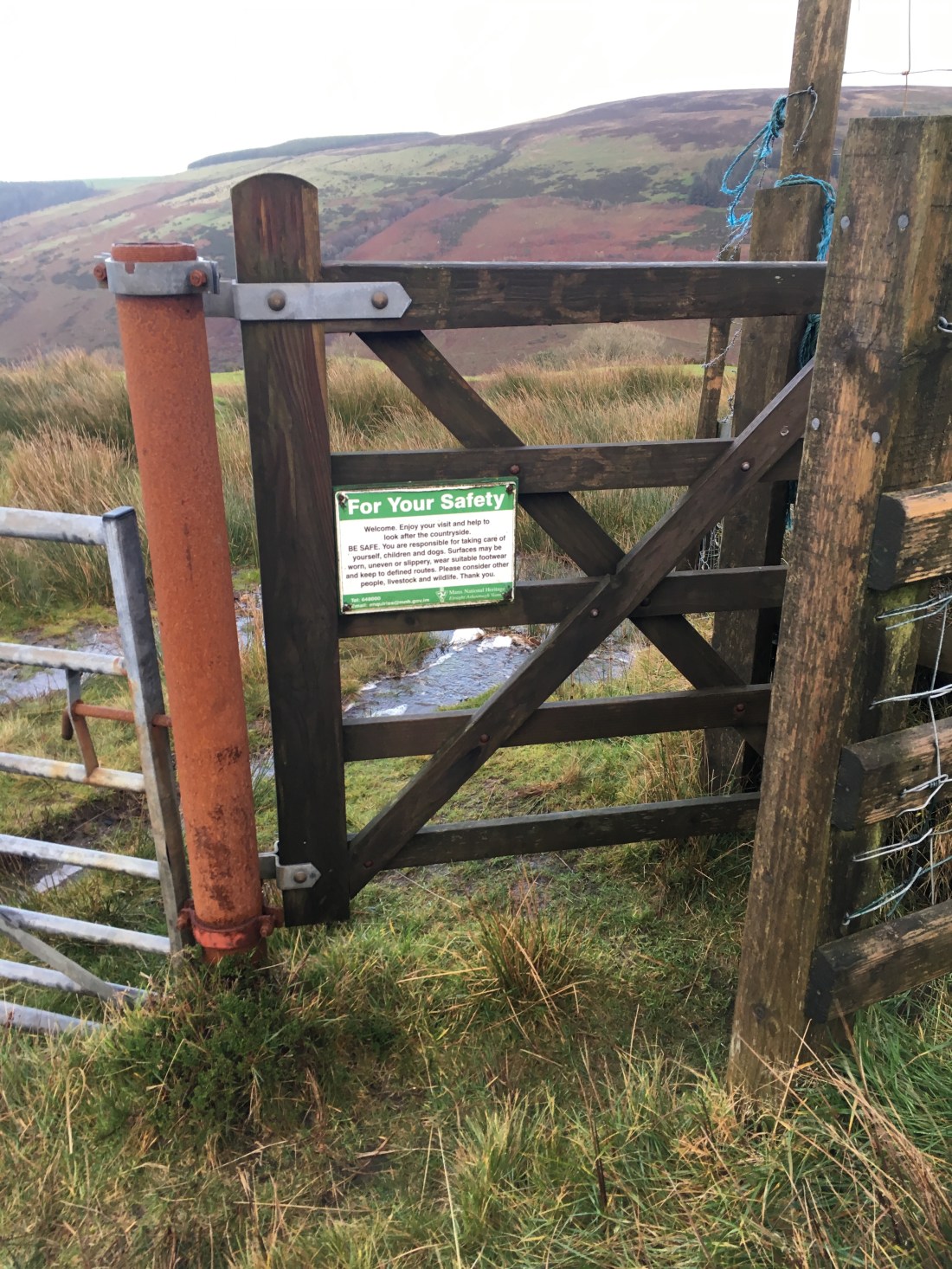
Above the tholtan a gate is reached which welcomes walkers on this area of MNH land.

img_1065

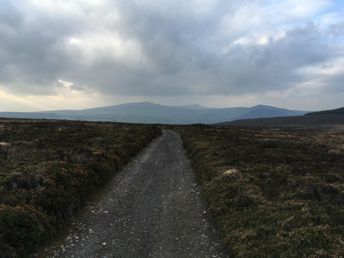
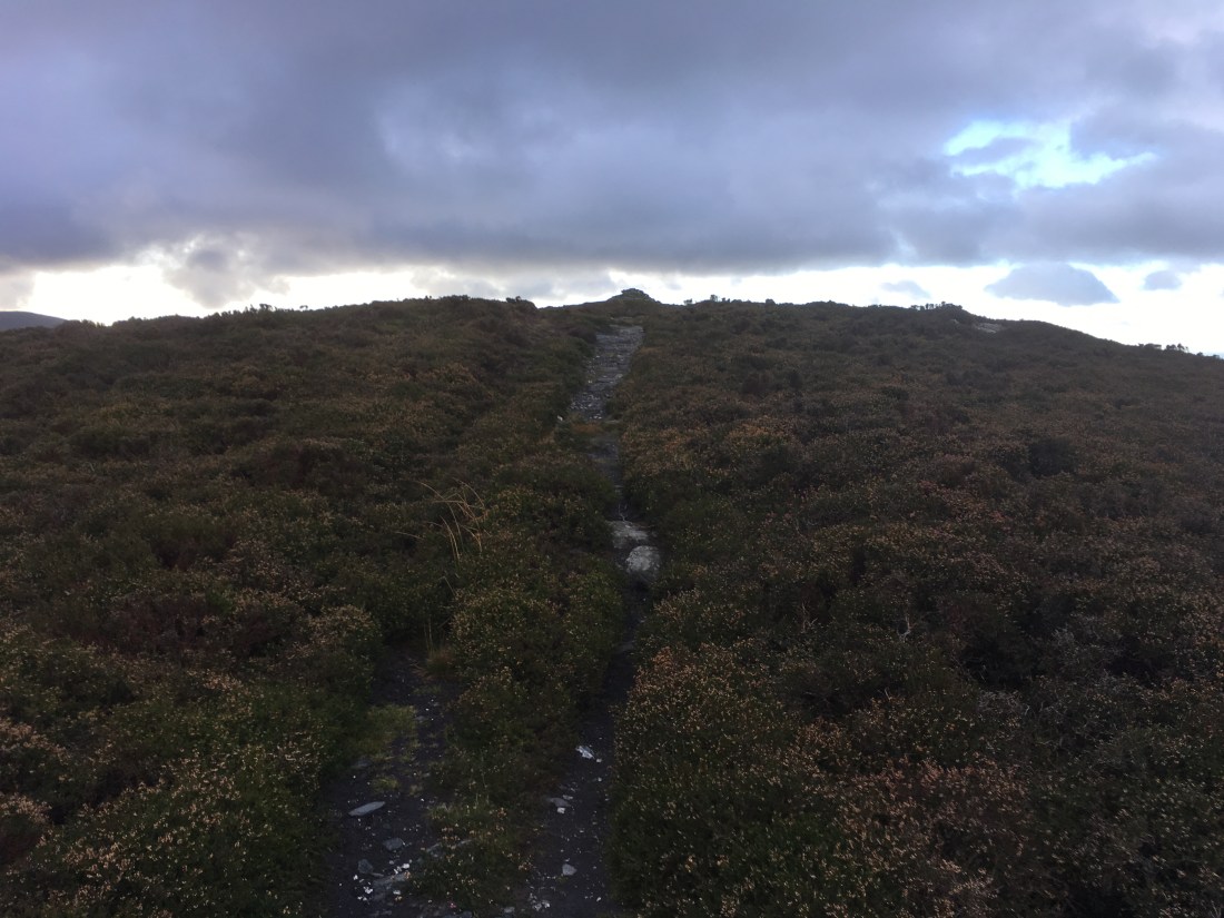
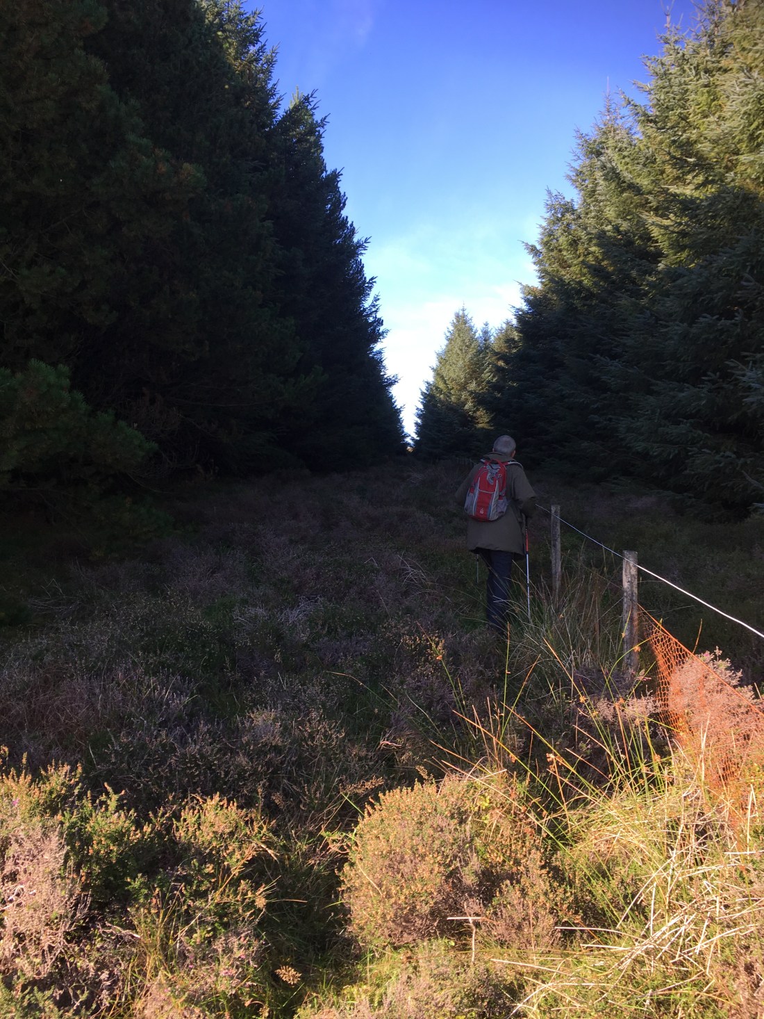
After that I followed the large track NW and just before reaching the tarmac road turned north heading straight for Mount Karrin.

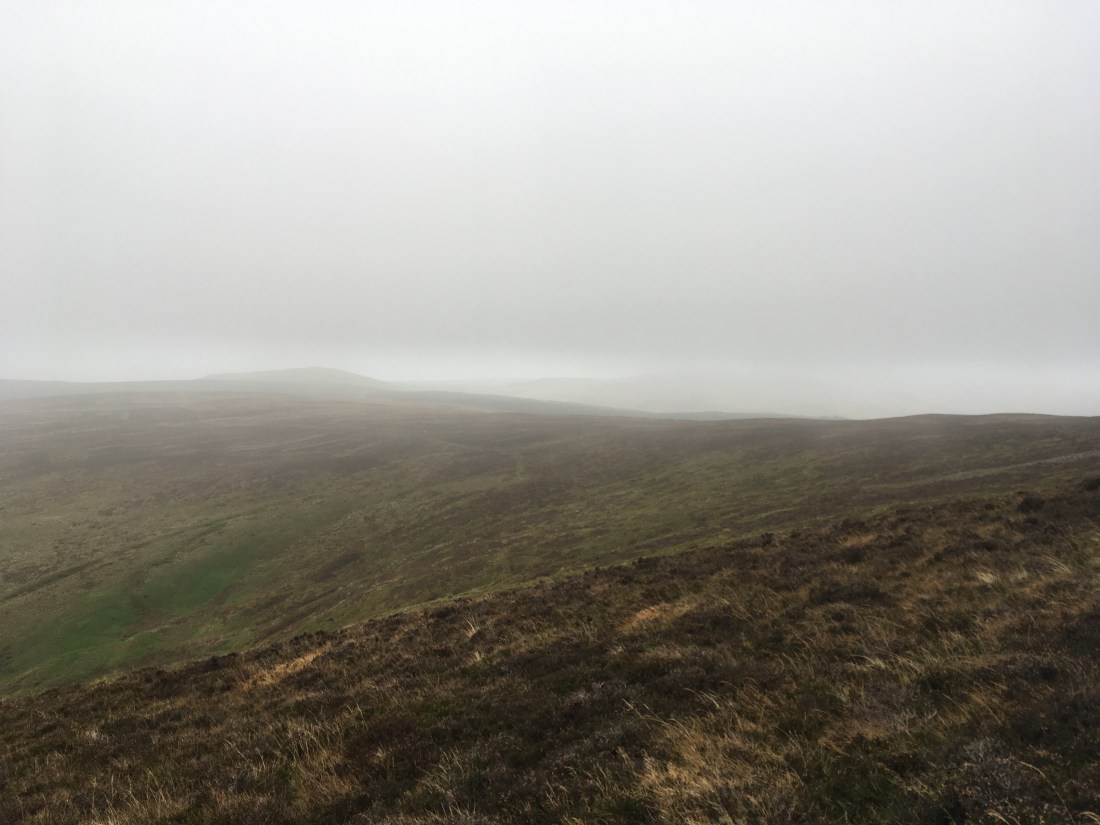
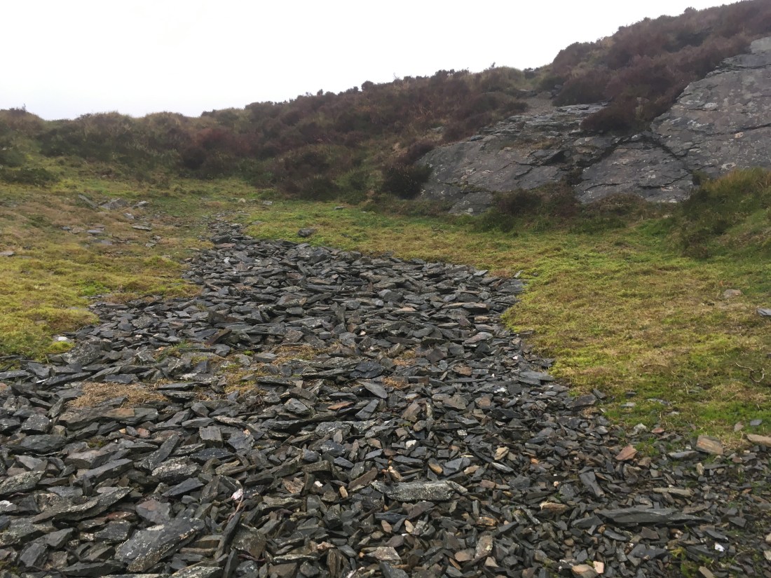
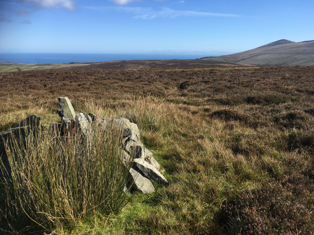
With the hill straight ahead the view to the NW was dominated by Slieau Managh and the white quartz crag of Creg Bedn visited earlier in the autumn. The ugly scar of the quarry unfortunately spoilt the view somewhat.

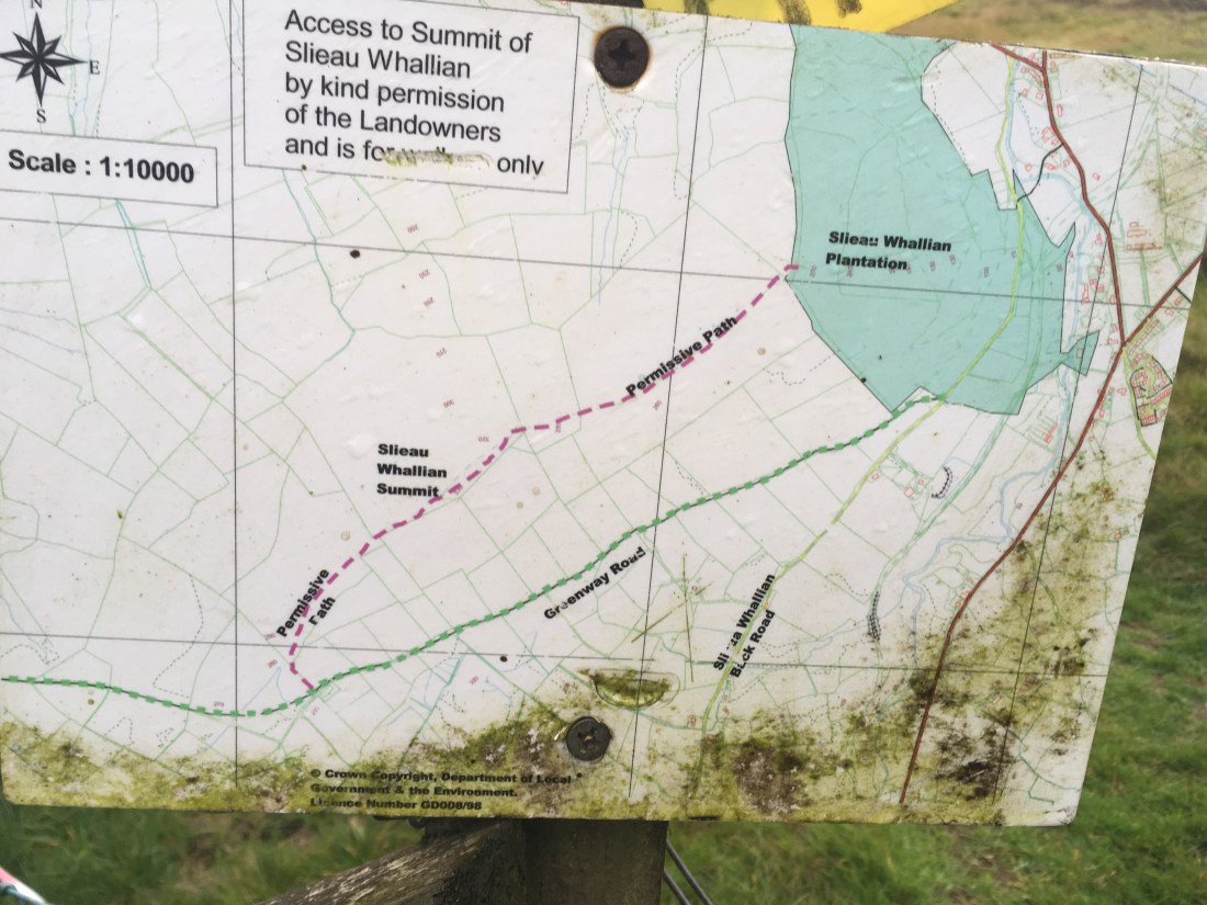
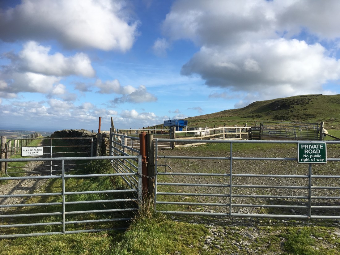
Gates are then reached where the greenway continues to the left with the summit of Mount Karrin to the right, harmlessly accessed through two gates with a descent possible through another gate further along, back onto the greenway. I suppose I should repeat that the land owner’s permission should probably sought……

img_1074

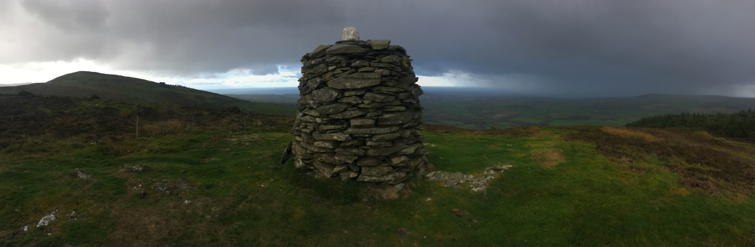
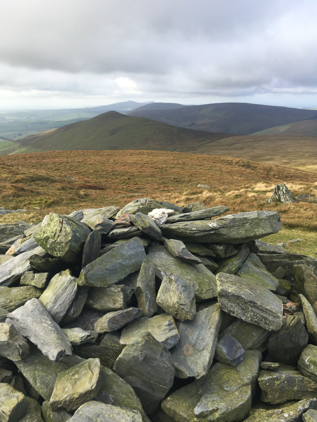
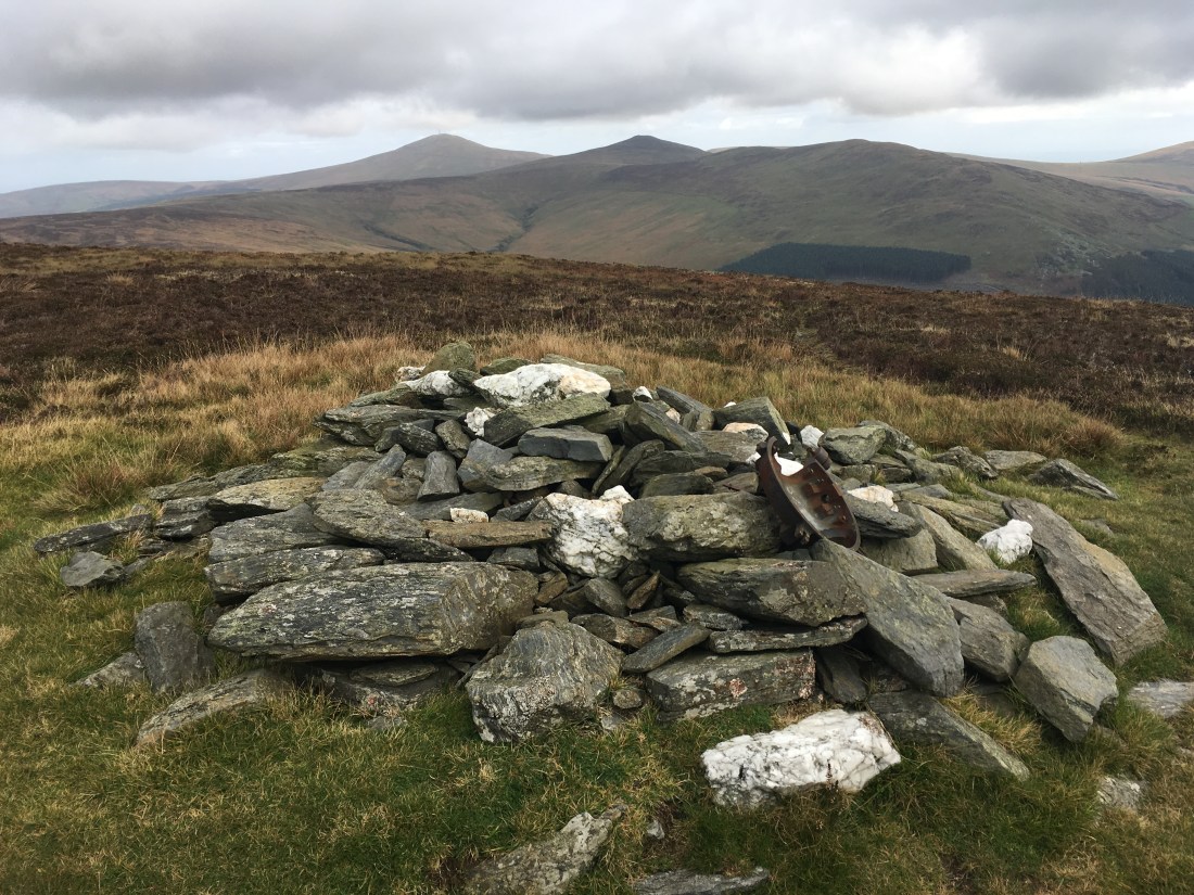
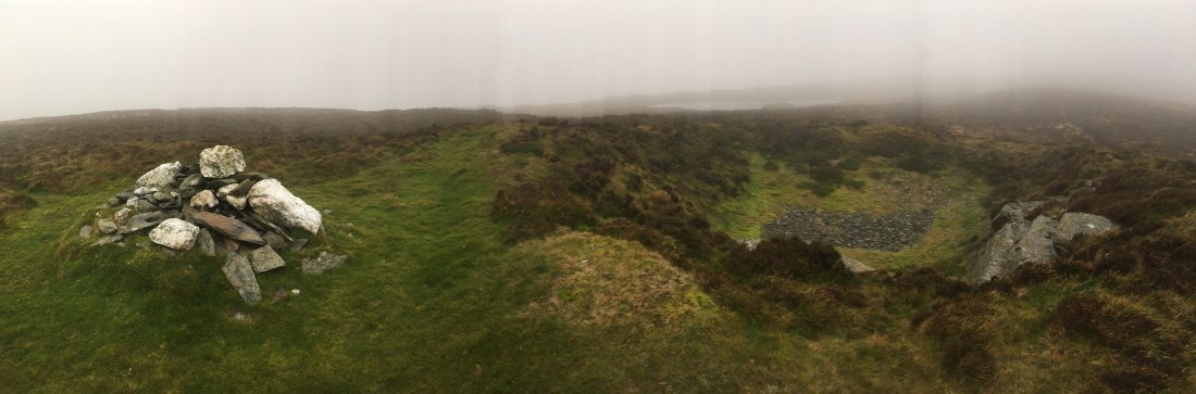
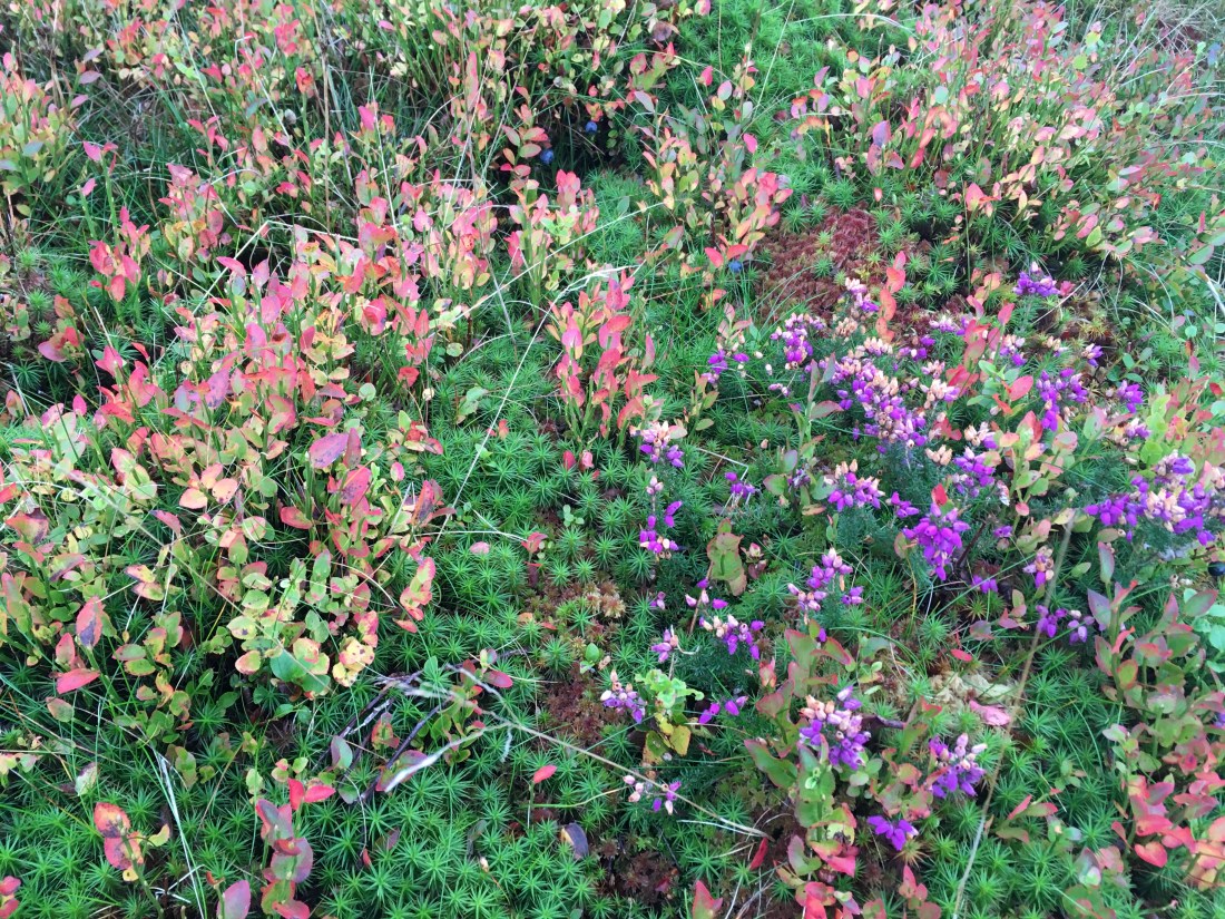
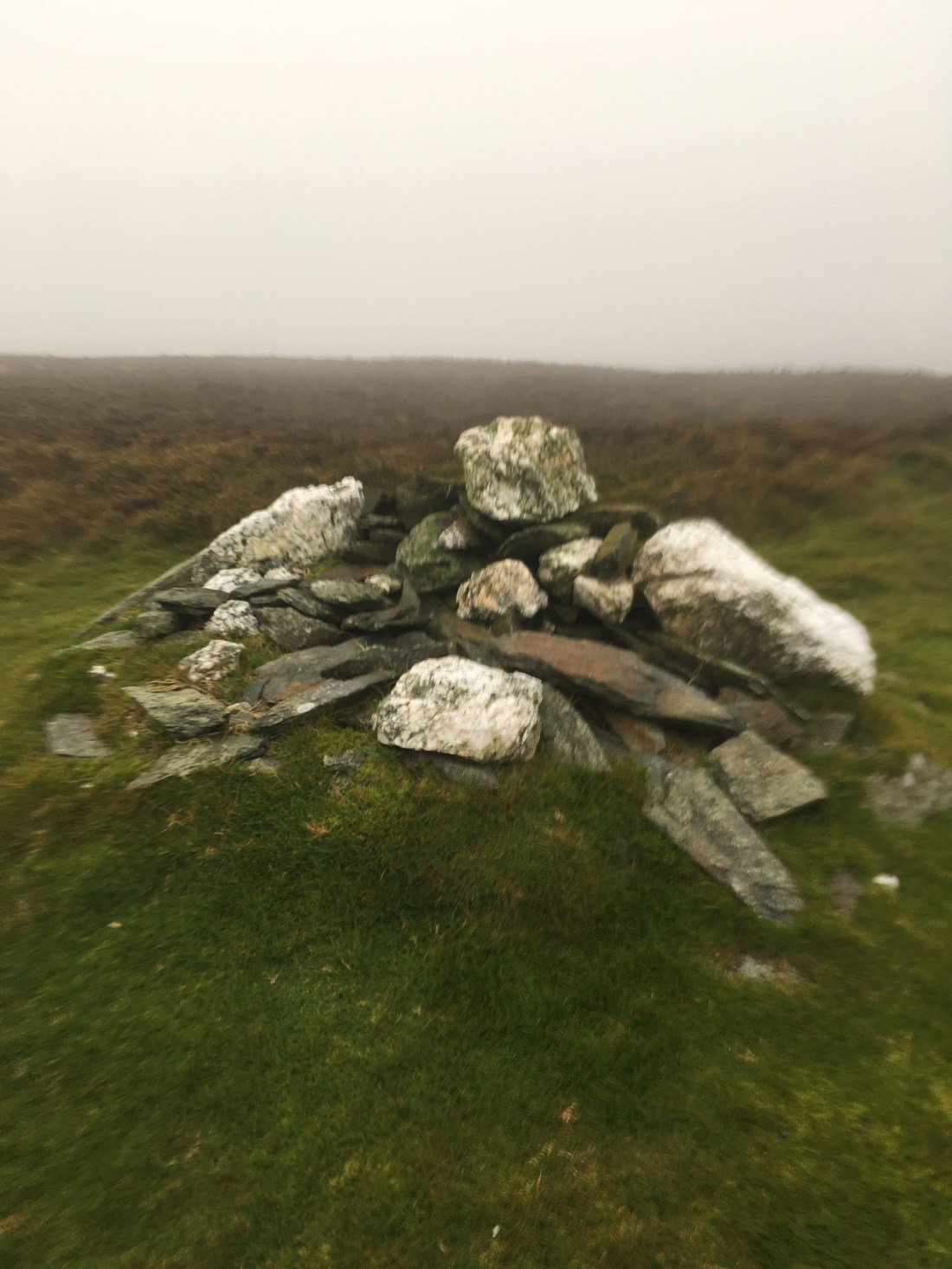
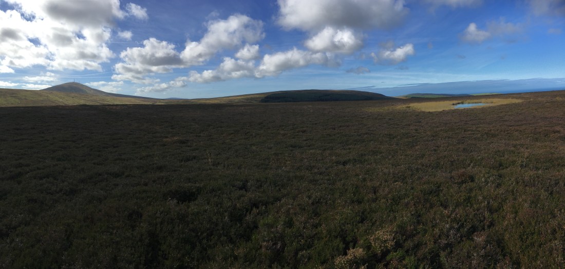
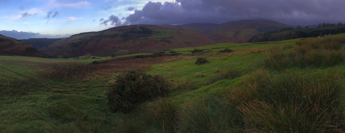
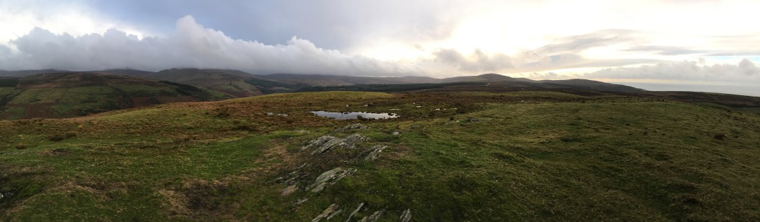
The summit is rather boggy but has small rocky knolls and superb views.

img_1078img_1080

Back on the greenway I quickly descended through Ballacuberagh back to the car.

7km in 1hr 25minutes, well worth doing especially visiting Killabrega via the zig-zag path.

Beary Mountain and The Beary

IMG_0982

A short walk this week in cold but otherwise good conditions.

We started at the Glen Helen carpark and crossed the footbridge leading towards Eairy Beg.

Late autumnal colours were dominant in the views into Glen Helen.

IMG_0953

Taking the large track to the left we climbed gently up to a gate where a path drops down into Glen Helen and straight on goes to a farm. We, however, turned right and entered the plantation.

IMG_0956

Soon we reached the tholtan which is quite well preserved and an atmospheric site.

Just after the tholtan we reached a junction where we turned left and thereafter a few hundred metres turned right to climb steeply alongside the wall, eventually reaching the edge of the plantation and open moorland.

We followed the edge of the plantation until we reached the area known as Twelve Shares where we picked one of the tracks over towards the gate and stile on the far side and then followed the wall along the the gas pipeline.

Somewhere here lies the top of Beary Mountain though quite which of the several gentle rises is the spot height is debatable.

Fine views were had across to Greeba and Slieau Ruy as well as to the north and west.

We then took a beeline towards the Beary, prominent in the view to the west. The view south now dominated with South Barrule, Cronk ny Arrey Laa and Slieau Whallian standing out against the grey skies.

IMG_0976

The sun managed to just about break through as we climbed the fire track through Beary Park and to the top of the Beary, a fine rocky summit with excellent views all around.

IMG_0980IMG_0982

After the customary tea and sandwiches we continued west, following the Warden’s path along the edge of the plantation, close to the mast and house.

This path reaches a corner then heads steeply downhill along the edge of the trees until it re-enters at a broken wall. I’m not quite sure where the way-marked trail goes after this but we easily followed a series of mountain bike trails and then fire tracks to reach the gate at the bottom and finally cross the bridge back to the car park.

At just 7km and two hours this was the shortest walk yet but Eairy Beg plantation is an interesting place and the Beary is a fine little hill.

Slieau Ree, Slieau Meayll and Slieau Lhost

img_0853.jpg

In many ways today’s walk is exactly what this blog is about. Any of the three summits can be accessed from the mountain road within a few minutes (Slieau Meayll from Creg ny Baa via the concrete road to the mast where there is a stile onto the hill, Slieau Ree from Kepple Gate and Slieau Lhost form Windy Corner) but by combining them into one walk from Abbylands each one becomes quite a challenge across wet heathery ground. On a misty day like today only the traffic noise form the mountain road slightly spoils the feeling of remoteness. Certainly not many seem to come this way. Despite mostly easy gradients the 14km took nearly three and a half hours.

From Abbeyland I drove up the Ballamenagh Road and parked at the end of the track, which the sign near the Abbylands chapel suggests is called the Ammal Road.

The track is very clear for the first 1.5km.

IMG_0802

An interesting memorial is soon past…

IMG_0803

The track continues, today giving misty early morning views over the east coast and one of Slieau Ree looking like a proper hill.


A new stile is reached which gives access to the open hillside.


From here I wanted to head straight for the top of Slieau Ree. There is no path so heather bashing was the only way forward, something which was going to be a bit of a theme today.

Several small flocks of redwing flew over and two or three snipe flew off from the heather a short distance away. They looked very small, I wondered if they could be jack snipe.

The top of the hill is muddy and undistinguished. I backtracked a little to make sure I had  crossed the spot height of 316m but the highest point is actually just above the mountain road.

From here I accessed the road at Kepple Gate via the yellow gate and crossed over to the gate and stile on the opposite side.

There is a decent path which heads straight to Slieau Lhost but I wanted to traverse to Slieau Meayll first. From previous wanders over these hills I knew this would be hard work and in the mist I needed to carefully follow a compass bearing across the boggy, tussocky, heathery ground. Actually you can’t go far wrong as if you go to low you will just meet the wall.

The point marked as ‘cairn’ on the IOM outdoor leisure map just has a few stones, the larger cairn is a couple of hundred metre further.

From here on a clear day you can see the large, well built cairn on a rocky rise towards Conrhenny plantation. I thought I would pay it a visit and found a rough stile over the wall. The cairn is a fine construction and even has a large slab which acts as a seat. It’s a shame there is no direct way to this point from the carpark at Conrhenny – a ‘private’ sign makes the landowner’s feelings clear.

It was hard work again back in the heather heading back towards the path to Slieau Lhost. Despite the mist I saw more snipe, a mountain hare and a male hen harrier. Then in the grass a dead redwing, perhaps a victim of the harrier.

IMG_0850

Once I picked up the path the going was much easier and the top of Slieau Lhost offered a little shelter for tea and sandwiches.

I then followed the path down to Windy Corner (I have never been able to decipher the crest and writing on the gate here) and crossed the mountain road, turning sharp left along the path just below the road rather than the one that goes down into the East Baldwin valley.

This path start well, reaching a gate where it took me a few minutes to work out that I had to slide it open.

The path seemed to be heading back up to the road despite the map showing it actually dropping away slightly so I headed off to the right to pick up a faint path by a ditch. This eventually reached a broken gate by a stream.

After that the path was intermittent through yet more heather until eventually the stile at the top of the outward track appeared.

IMG_0871

Then it was just a case of retracing my steps down to the car.

A tough ramble in the mist but an interesting alternative way of climbing these hills.

Greeba Mountain, Slieau Ruy and Lhargee Ruy

img_0758.jpg

Another wild day on the hills had us starting from Greeba and heading up through King’s Forest (Greeba Plantation). The ground was sodden with stream running down every path.

We followed the main fire track up the eastern side of the plantation and kept with it as it zig zagged steeply upwards. Near the top is a nice little waterfall on the right but the route heads left.

IMG_0750

Eventually we reached the stile where the warden’s path is way marked.

A rough track now heads west above the wall bounding a curious area of broken, ancient-looking trees and then heads up to the summit of Greeba Mountain.

The boats had been cancelled this morning and, struggling to stand at the summit, it was easy to understand why.

IMG_0758

The mist was now well and truly down as we struggled onward in the gale, first NE the east to the top of Slieau Ruy. Time for tea and sandwiches in the small amount of shelter provided by the cairn.

IMG_0761

We then continued NNE intending to include the top of Lhargee Ruy but actually walked straight past in in the mist, ending up at the gate where we turned sharply SSW down the  Cronk Breck track.

IMG_0765

Just before the first gate the warden’s path traverses above the wall to the top of the plantation and the stile we crossed. This is probably the best route but we decided to continue down to the road and then turn on to the footpath to Bawshen.

This passes the Lance Ussher Memorial Reserve – I can’t find any about this on line so please comment if you can help enlighten me as to what this is.

IMG_0774

We followed the footpath signs through gates to the grounds of a very nice property.

At the other side of the grounds a footpath sign indicated the way across a field to a rough stone stile and the stream at the eastern side of the plantation.

At first we turned left but this seemed to go nowhere so we headed back up. The only way forward was indicated by motorbike trials signs and involved wading through the stream, going under a fallen tree and then up a narrow gully before reaching a better path and eventually the main track. It seems odd to have such a well sign-posted path that suddenly ends (see the Slieau Managh walk for something similar).

It was then just ten minutes back down to the car in the lay-by at the bottom Greeba.

Another great walk in, at times, challenging conditions. At least the rain held off this time. 3 hours for 11.5km.

Slieau Whallian

IMG_0392

Just a short out and back walk this week to the top of Slieau Whallian above St Johns. The weather was a bit grim and whilst this hill can be part of a loop the obvious descent via the Slieau Whallian ‘greenway’ track is in no way pleasurable. It is extremely eroded, gullied, rutted and you are likely to be buzzed by off-road motorcycles.

I started from the lane to the east of the hill, heading straight into the plantation.

IMG_0381

Any route up through Slieau Whallian plantation is going to be steep but I tried to find a different way by heading over to the western side. It was a bit rougher going and followed a downhill mountainbike trail uphill for a while. This was ok on a weekday but probably not wise at the weekend.

Once near the top of the plantation the gradient eases, a stile over the fence is found and a permissive path to the summit starts.

IMG_0530

A large cairn is a superb viewpoint over the west coast of the island.

IMG_0390

Another stile leads over a fence to a long flattish section, a broken wall and then the steep grassy climb towards the summit.

Yet another stile goes over a broken fence onto the last heathery climb.

IMG_0395

IMG_0397

The view form the top is excellent towards Peel, South Barrule and Cronk ny Array Laa as well as to the north and east to Archallegan.

IMG_0522IMG_0523

Deciding not to head south and then join the Slieua Whallian greenway I headed back down the ascent route, returning to the plantation through wintery showers on a strong wind.

I followed a more conventional route down through the trees, the sun came out and illuminated the autumnal colours.

So just a quick walk today – an hour and a half for 5.5 km – but it’s always worth going out even if the rain and hail on the house roof suggests otherwise!

Carraghan, Beinn-y-Phott, Slieau Maggle and Colden.

IMG_0335

I have always climbed Carraghan from the Brandywell Road but to do it justice and to complete a circuit of the skyline above Injebreck reservoir I wanted to find a way up Injebreck plantation onto Carraghan, over to Being-y-Phott and then along to Slieau Maggle and Colden before descending through Colden plantation back to the starting point.

This aim was more or less achieved in a walk of some 15km in four and a bit hours.

We had some trouble finding a way up as described but i have since been back to have a look around and the following route through the plantation seems to be best:

Leave the road via a stile on the east side of the road between the car parking area ad the small waterfall on Colden River. The track goes over a bridge and briefly follows the river before climbing to a locked gate.

After the gate the track climbs into the plantation, soon reaching a clearing with stacks of logs and a felled area above. Just after the logs cross the ditch and find a faint fell runners track in the trees. This goes up very steeply to a clearing, heads right to the side of a fence and back into the trees.

At the top there is a stile, presumably for the fell run, which leads onto the open hill side.

IMG_0732


Once on the hillside proper there was a good sheep track / path all the way to the summit with superb views back over the reservoir and to Colden.

IMG_0308

The true summit is the first one reached from this direction.


The light on the sea over Slieau Lhost caught my attention.

IMG_0324

As did the light in the East Baldwin valley.

IMG_0325

The way ahead to Beinn-y-Phott is simply to follow the ridge and drop to the gate on the St Luke’s track. From there Beinn-y-Phott is easily ascended by a variety of routes. We kept to the south side and found some rocks to follow up to the summit. Carraghan and Being-y-Phott both lie on the central ridge of resistant Barrule Formation and so are nice rocky summits, unlike the rest on this walk.

IMG_0327IMG_0328IMG_0335

We then headed back towards the upper section of the St Luke’s track and followed it to the cattle grid on the Brandywell road. Form here it was a road walk until we found ourselves on the slopes of Slieau Maggle. Of course the ideal way would be to traverse the top of Injebreck Hill but fencing prevents access at both ends of this potential route.

Slieau Maggle is not the most interesting of hills but does provide good views to the west.


From here we headed south west to the gates and track junctions above Slieumaggle Plantation (as it is named on the IOM Leisure map).

IMG_0343

We followed the track that eventually drops to Crosby via Cronk Breck but cut off to the left to gain the summit of Colden. This hill is quite undistinguished form this side but on it’s eastern flank holds a decent corrie, a circuit of which form Injebreck is quite satisfying except for the struggle up the southern side through felled forestry.

The summit of Colden is marked by a post and a cairn on which was sitting the remains of the beacon once supported by the post.

IMG_0345IMG_0346

From here nearly the whole of the route was on view – a fine circuit apart from the Brandywell Road section.

Descent was by the northern rim of the corrie, a nice path follows a developing ravine until it reaches the track comes directly from the gate mentioned before.


This path was then followed around the inside of the corrie, traversing a series of boards over the boggier sections and passing a fine bench with a fine view.

IMG_0351IMG_0352IMG_0356

Following the main forestry track took us straight back to the car and then end of an excellent walk.

IMG_0362


Slieau Dhoo and Slieau Curn from Glen Dhoo.

IMG_0207

A shortish walk this week as the island was in the grips of Storm Callum. It was extremely windy on the tops but the rain held off for the morning which was nice of Callum.

Starting from the car park at the bottom of Ballaugh plantation we headed up the track to Glen Dhoo, one of the island’s hidden treasures.

On crossing the stream at the old farmhouse we followed the track indicated as a greenway. Why they bother to do so is a mystery to me as it ends after a few hundred metres at a gate, goes through a nature reserve and can only encourage off-road motor cycles to push on past this point onto the hills. There used to be evidence that they came down this way with some significant scarring on the hillside along today’s route but this does seem to be recovering.

Anyway, past the farmhouse there are a few other buildings, one looks like it used to be a mill.

We then crossed the stream on the left and picked a path through the bracken until we were climbing up next to the stream at the left hand side of the plantation.

IMG_0187

There is a faint path up the right hand side of the stream, climbing steeply by the edge of the plantation. The views back down to Glen Dhoo are excellent.

Eventually the gradient eased as we entered the upper ‘corrie’ which contains a few lively streams and a mixture of heather, bog and grass.

IMG_0195IMG_0194IMG_0198

We chose a spur between two stream to follow to the upper slopes, passing a curtain of fresh water coming form the soaking turf.

The final climb was hard work across heather with the wind now buffeting us and slowing progress. There was just about a view towards Mount Karrin, but the mist was descending and the wind roaring.

IMG_0202

At the summit it was hard to stand, certainly hard to hold the camera still…..IMG_0205

Fortunately there is what seems to be an ancient quarry at the summit so this provided some shelter for a quick brew.

IMG_0208

The surface of the nearby pool was very choppy due to the wind.

IMG_0210

Continuing past the pool we descended the SW slopes and climbed a little to the track and followed it to the top of the Baltic road from Kirk Michael. Here we turned right to follow the greenway towards Slieau Curn. Despite measure to control erosion it is still very rutted.

We left this track and headed up the slopes to the top of Slieau Curn where if anything the wind was even stronger. The wooden post seems to have fallen and now there is a rocky cairn marking the summit.

IMG_0218IMG_0221

After a short break we picked a line down the NNE slope to the top of the Ballacob track.

Following this down hill to the first corner we turned right onto the permissive path which heads back to Glen Dhoo farmhouse along the bottom of Slieau Curn plantation. There is no clue that this path exists from this direction, only half way along it do you come across a gate which tells you that it is ok to come this way. It is more obvious in ascent. This is a lovely track (though overgrown at the Glen Dhoo end) and good to see that some landowners are willing to allow access to their land.

Once back at the farmhouse we retraced our steps to the car.

Another fine walk in lively weather – it’s alway worth going out!

This one was just 9.4km and took us three hours.


Slieau Ruy and Lhargee Ruy from Little London

This route makes use of two footpaths from Little London, a humorously named hamlet in the west of the island. I have looked these paths on the map and have been meaning to do this loop – with a short diversion to the top of Slieau Ruy – for years, finally getting around to it this week.

There are several lay-bys on the minor road to Little London near the even more minor road to the pony trekking stables along which the route starts. This lead steeply down the lane to a small bridge over the stream which will go on to join the Blaber River and flow through Glen Helen.

IMG_9201

After just a few metres another stream needs to be crossed, this time on a few slippery stepping stones. On this occasion it had been raining overnight and there wasn’t really a way to avoid wet feet.

IMG_0132

We followed the lane uphill past the interesting tholtan of Ballasayle.

IMG_0134

At a gate and stile we turned left along the footpath which is a hard going for a few hundred metres until a gate onto a heathery path through the sparse conifers is reached.

Very pleasant walking took us to another gate and the large track along which the mountain bike End2End heads south from Brandywell to St Johns.

This track is crossed and the heathery path continued, eventually reaching a sheepfold and then a steep climb up onto the Lhargee Ruy ridge.

Great views back along the route over Lamb Fell to the west.

Once on the ridge we turn south towards the summit of Slieau Ruy, a fine view point for the surrounding hills and right down to Langness.

IMG_9217

After some lunch we then retraced our steps to the head of the path and then onto the top of Lhargee Ruy – a small cairn to the left of the path, not the prominent cairns further north.

IMG_0150

After heading back over to the path and past the cairns on the knolls we raced the large metal signpost which looks so out of place on the hills. The path back to Little London splits form the main track to Brandywell here and follows the hillside, past a nice stream in a gully, through some trees and again crosses the End2End track. Through the gate, through more trees to the top of the farmland.

Here an ingenious stile crosses a fence and a wall.

We followed the edge of the field down to a track and then the Little London Road and turning right returned to the car.

This walk really does feel quite remote at times and crosses the empty centre of the island. The chances of meeting anyone else along here a fairly small.

Including the usual relaxed lunch break this walk took us just over three hours and was 11km long.

Slieau Managh and ‘Point 336’.

IMG_0081

This week’s walk logically follows round in an anti-clockwise direction from the first two. Slieau Managh is a fairly undistinguished rounded lump of a hill but is made interesting by the huge quartz outcrop on its western side. “Point 336” much less interesting and all that can be said for it is it has a spot height on the OS map and has two small ponds near its highest point (not really a summit, or even a point!).

I thought I would tackle these hills form the north, up through Ohio Plantation from Sulby Claddagh and try to find a way from the point where a footpath seems to have a dead end on the map.

The total distance for my route (our route I should say, I had company this time) was12.5km and took us 4 hours (including a lengthy lunch stop atop the quartz).

From the camping area of The Claddagh we walked a short distance along the road before turning up the Ohio track. This is straight forward, passing through an area where they are felling just by the top gate.

From here a clear track leads south and gently upwards until a signpost indicates the branching route towards the plantation on the northern slopes of Slieau Managh. I was pleasantly surprised how clearly this was marked – maybe this path was not a dead end after all. The hill and the quartz outcrop were on view straight ahead.

IMG_0061

There was a stream valley ahead – the same stream that tumbles into Sulby Glen over the Cluggid waterfall – and the path ahead was a bit uncertain. It was there, however, and crossed a small stile and bridge over the stream before following a wall towards the plantation.

IMG_0062IMG_0072IMG_0073

The cows were safely on the other side of the wall!

This path clearly led forwards and ended at a stile over the plantation fence, which along with a sign post surely indicated that there was a clear trail here.

IMG_0074

On the other side of the stile, however, there was no indication of which way to go. This was perhaps the dead end of the track. We headed left to the wall corner and then, after a bit of heather bashing, picked up a bit of a path which soon led to another fence with a broken stile.

We head right after the fence following a fire break and soon found another stile to take us out of the plantation  and onto the final slopes of Slieau Managh. We headed directly for the quartz and lunch.

IMG_0076IMG_0077

IMG_0078

There used to be a seismometer near here with a small solar panel but it seems to have been removed. The views over Subly Glen and to the north were excellent.

IMG_0081IMG_0083

We then continued to the top of the hill, a less interesting spot than where we had lunch but the views towards Snaefell and the North Barrule ridge, however, were excellent. We also say a buzzard, a peregrine and another bird of prey having a bit of an aerial scrap. I’ve seen pairs of buzzards several times this summer, never before that.

IMG_0085IMG_0087

We followed the vague track eastward to drop to the Millennium Way and then followed this to a gate at which point we headed directly to the top of Point 336 and it’s two pools.

IMG_0088IMG_0089IMG_0090

I had intended to descend by the track on the east side of Narradale but too much talking and too little concentration meant we ended up going down the road on the other side. Just here there was a rather confusing sign post.

IMG_0091

The road down was very pleasant all the same, leading directly to the Ginger Hall at which point it seemed rude not to support the local economy.

The lane back to the Claddagh leads past Cronk Sumark so we took the opportunity to clamber up it’s steep slopes for another fine view before returning to the car.

IMG_0097IMG_0098

It is amazing that after living here so long there are still new places and paths to be discovered and although the infrastructure of stiles and way marking are a little neglected they are there if you search for them.